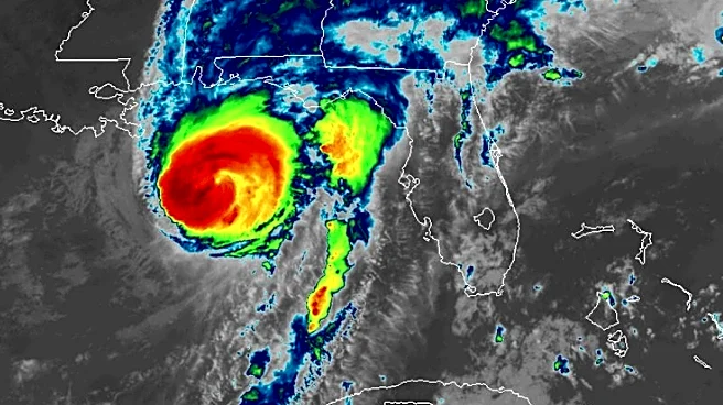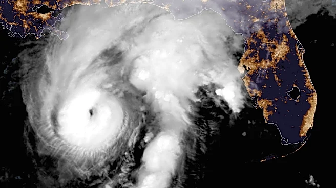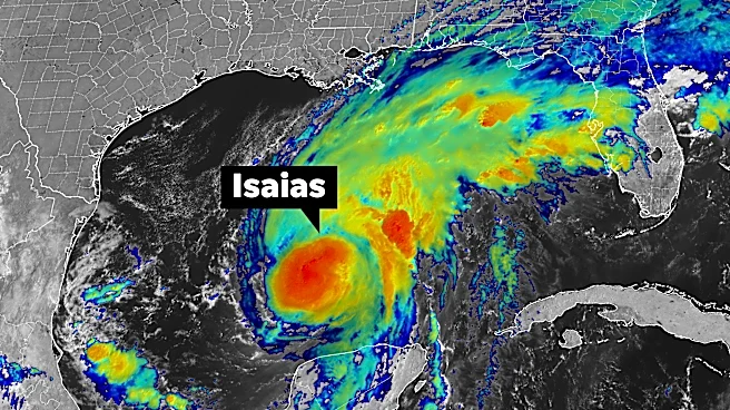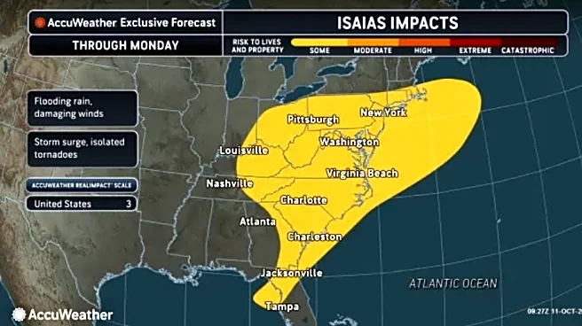







What's left of Isaias made its way to the Wilmington area on Oct. 10, bringing steady rain and some gusty winds.
A day later, the lingering effects have brought on a tornado watch.
The National Weather Service issued the tornado watch on Sunday, Oct. 11, until 5 p.m. for much of Southeastern North Carolina, including Brunswick, New Hanover and Pender counties. A flood watch was set to end at 11 a.m.
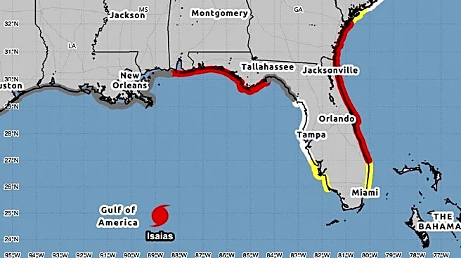
After churning over the warm, deep waters of the Gulf of Mexico, Isaias, now classified as a post-tropical cyclone, made landfall in Florida on Oct. 9. By 4 a.m. Oct. 10, the center of the storm was in central Alabama with maximum sustained winds of 35 mph, according to the National Hurricane Center.
going south for Isaias relief
Here is the forecast from the National Weather Service in Wilmington:
Sunday: Showers likely and possibly a thunderstorm before noon, then a chance of showers and thunderstorms between noon and 2 p.m. Mostly cloudy, then gradually becoming sunny, with a high near 81. Southwest wind 8 to 11 mph, with gusts as high as 22 mph. Chance of precipitation is 70%. New rainfall amounts between a tenth and quarter of an inch, except higher amounts possible in thunderstorms.
Sunday night: Mostly clear, with a low around 62. Southwest wind around 6 mph, with gusts as high as 15 mph.
Owen Hassell is the local news editor for the StarNews. You can reach him at ohassell@usatodayco.com.
This article originally appeared on Wilmington StarNews: Tornado watch issued for the Wilmington area