




The storm system has yet to pop up on the National Hurricane Center's radar screen as something to watch over the next week.
But some forecasters are casting a warning eye toward a cold front off the Southeast United States that could develop into a tropical system and cause problems along the North Carolina coast along with bringing some seriously cold weather to the region.
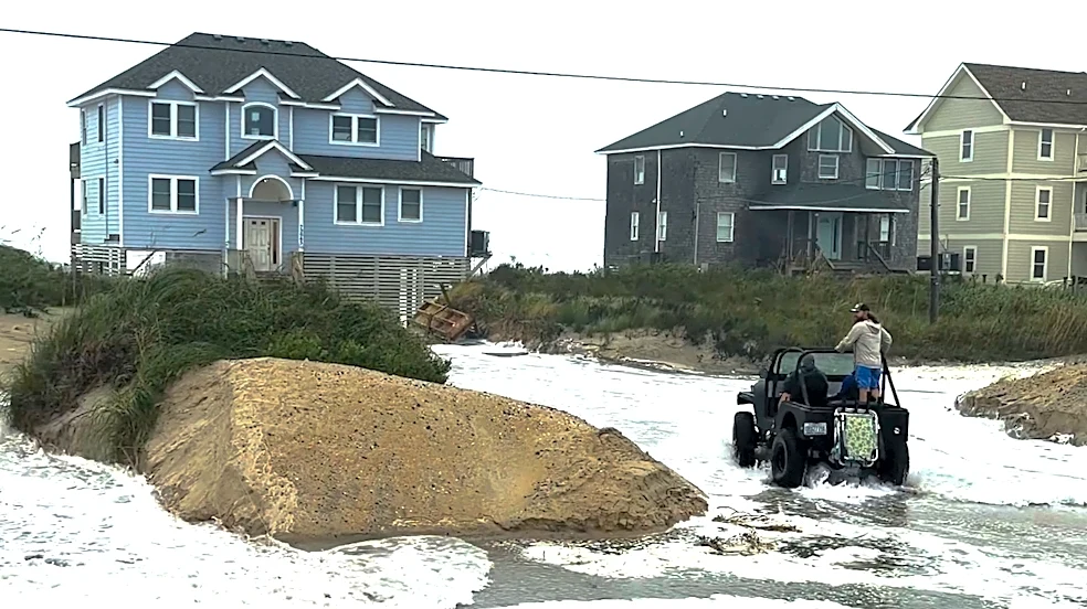
Either way, the front is expected to bring heavy surf and potentially dangerous conditions to parts of the Southeast, including North Carolina, in the coming days. The Outer Banks, which were recently pounded by a nor'easter that caused significant beach erosion and overwashing of roads, could be especially vulnerable if the system stalls and strengthens.
"If the front stalls
this weekend, a storm could gradually form along it," said AccuWeather Lead Hurricane Expert Alex DaSilva. "Warm Gulf Stream waters nearby could help it develop tropical or subtropical characteristics."
The next name on the 2026 hurricane list is Josephine. And while this year's hurricane season has been unusually quiet thanks to El Niño, officials say residents still need to stay alert and be prepared in case a late-season tropical system churns up, especially in the Gulf where ocean waters remain very warm. Hurricane season runs through November.
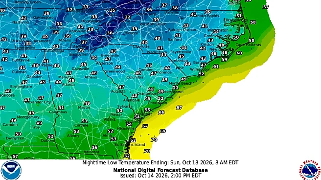
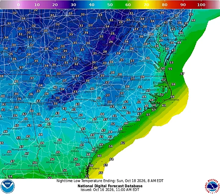
Whatever happens, the front is forecast over the next few days to pump some of the coldest air in months into the Carolinas. Here's what to expect over the coming days in the Wilmington area.
Temperatures dipping into the 40s
According to the National Weather Service's Wilmington office, temperatures are expected to start falling through Friday into the low 60s while the winds pick up, with gusts reaching up to 17 mph.
Then Saturday, just in time for the Wilmington IRONMAN 2026, the weather is expected to be downright fall-like, with highs barely reaching into the mid-60s during the day before plummeting into the mid-40s Saturday night. Gusts of up to 29 mph and a chance of rain will add to the gloomy forecast.
The coldish weather is expected to continue into Sunday, with the high still stuck in the mid-60s and lows struggling to stay out of the 40s. Temperatures start warming up on Monday and especially Tuesday, although lows in the evenings will still by hovering around the mid-50s.
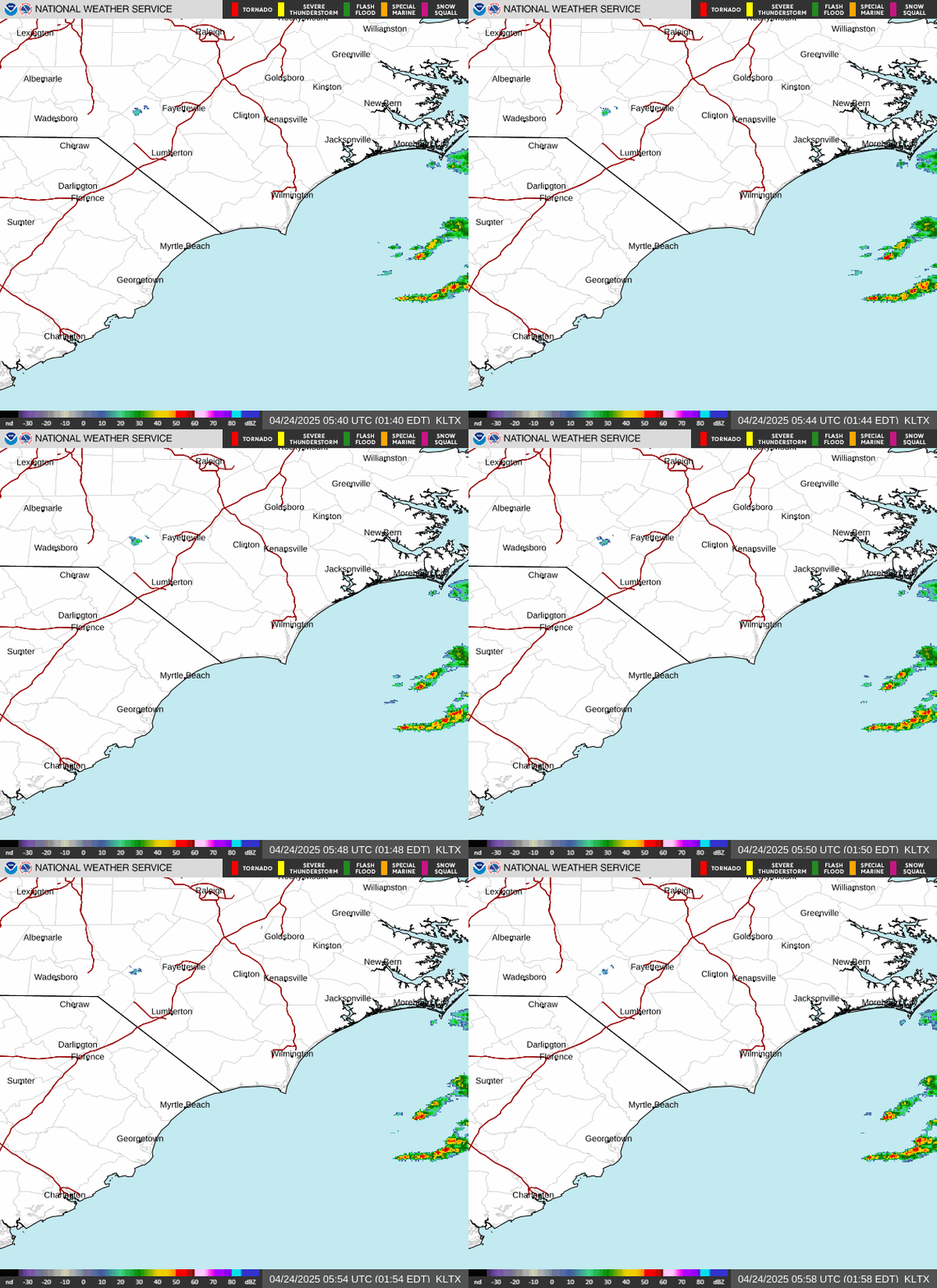
North Carolina weather radar
Heavy surf and gusty winds
Along with a touch of winter, the cold front also is expected to stir up things in areas along and near the coast.
According to AccuWeather and the National Weather Service, here are some of the possible impacts the Carolina coast could see in the coming days:
- Gusty winds out of the northeast
- Rain with potential for localized flooding
- Rough surf and strong rip currents, with waves of 8 feet or higher
- Possible beach erosion and overwash

Weather rebound
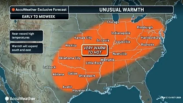
While temperatures might seem unusually cold for Southeastern North Carolina in mid-October, the Northeast and upper Midwest will be getting its first true blast of cold Canadian air over the next few days. Some areas could even see their first snowflakes of the season, according to AccuWeather.
In the Wilmington area, temperatures later next week are expected to rebound after the cold front moves through, with highs back into the low-70s and lows in the mid-50s. The chance of rain and wind gusts also are expected to drop off as the week progresses.
Reporter Gareth McGrath can be reached at GMcGrath@usatodayco.com or @GarethMcGrathSN on X/Twitter. This story was produced with financial support from Journalism Funding Partners. The USA TODAY Network maintains full editorial control of the work.
This article originally appeared on Wilmington StarNews: NC cold front coming as forecasters eye possible tropical development