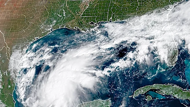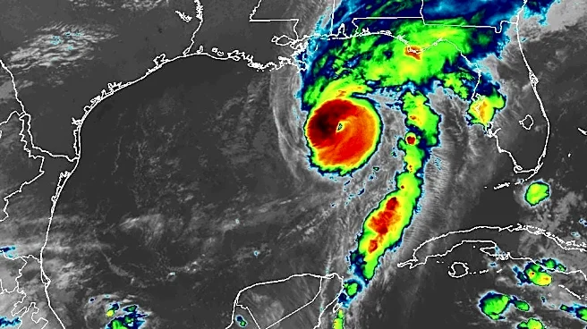

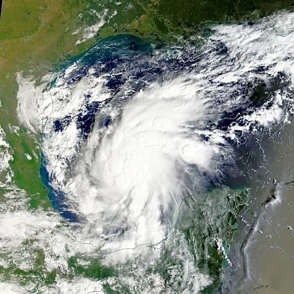
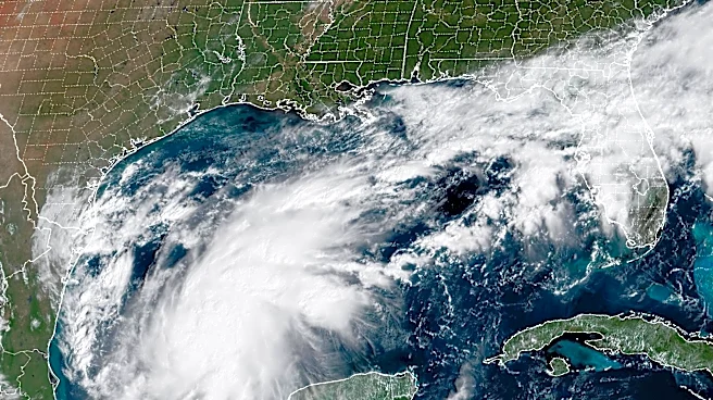

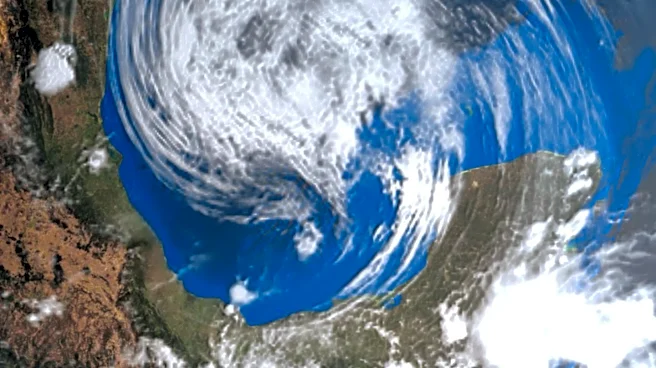
Georgiacould see several inches of rain this weekend as HurricaneIsaias approaches, with the National Weather Service warning that repeated rounds of heavy rainfall could lead to flash flooding across parts of the state.
A Flood Watch
is in effect from late Friday night through Sunday morning for large portions of central, east central, north central, northeast, northwest, southeast and west central Georgia.How much rain could Georgia get?
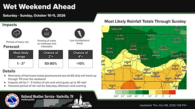
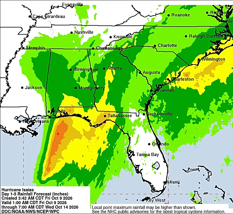
The NWS expects widespread rainfall totals of 1 to 3 inches, with localized amounts reaching 5 inches.

The rain is expected to come in multiple rounds from late Friday through early Sunday as Hurricane Isaias approaches.
High rainfall rates and the potential for repeated bands of heavy rain are expected to increase the risk of flash flooding.
Here are some specific city predictions, according to the NWS:
- Augusta: 1/4 to 1/2 inch Friday night, 3/4 to 1 inch Saturday and another 1/4 to 1/2 inch Saturday night. Less than 1/10 inch is expected Sunday, except higher amounts in thunderstorms.
- Blue Ridge: 1/10 to 1/4 inch Friday night and 1/4 to 1/2 inch Saturday.
- Macon: 3/4 to 1 inch Friday night, followed by 1 to 2 inches Saturday.
- Savannah: 3/4 to 1 inch Friday night, another 3/4 to 1 inch Saturday and 1/10 to 1/4 inch Saturday night, with higher amounts possible in thunderstorms.
- Athens: 1/4 to 1/2 inch Friday night, followed by 1 to 2 inches Saturday.
- Albany: 1 to 2 inches Friday night, followed by 1 - 2 inches Saturday.
- Columbus: 1 to 2 inches Friday night, followed by 1/2 - 3/4 inch Saturday.
Where could flooding be a concern?
The NWS says the areas most at risk include poor-drainage and urban areas, along with creeks and streams that are prone to flash flooding.
Excessive runoff could also result in flooding of rivers, creeks, streams and other low-lying and flood-prone locations.
The Flood Watch covers a large portion of Georgia, including areas around Atlanta, Athens, Columbus, Macon, Gainesville, Rome, Dalton, Marietta, Lawrenceville, Peachtree City, Newnan, Warner Robins, Covington, Carrollton and LaGrange.
When will the heaviest rain arrive?
The Flood Watch begins late Friday night and continues through Sunday morning.
The NWS is urging residents to monitor later forecasts and remain alert for possible Flood Warnings.
Those who live in areas prone to flooding should be prepared to take action if flooding develops.
Will Georgia get tornadoes from Hurricane Isaias?
Tornadoes can occur with tropical systems, and the NWS said the front-right quadrant of tropical storms and hurricanes generally have the greatest potential for tornadoes.
Because Isaias is expected to track west of Georgia, the storm's setup could create conditions favorable for tornadoes in parts of the state.
The NWS said tornadoes could be possible especially along the wedge boundary and outside the cooler, stable wedge air mass.
That means the tornado threat will not necessarily be the same across all of Georgia. The exact areas at greatest risk will depend on the storm's eventual track and the evolving weather setup.
Rain will spread northward late Friday, with the bulk of the rainfall expected Friday night. The agency says the potential for strong winds, heavy rain and tornadoes will increase from Friday evening through early Sunday as Hurricane Isaias approaches and moves inland.
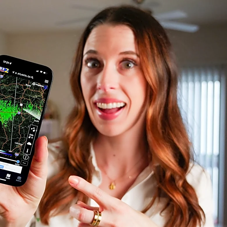
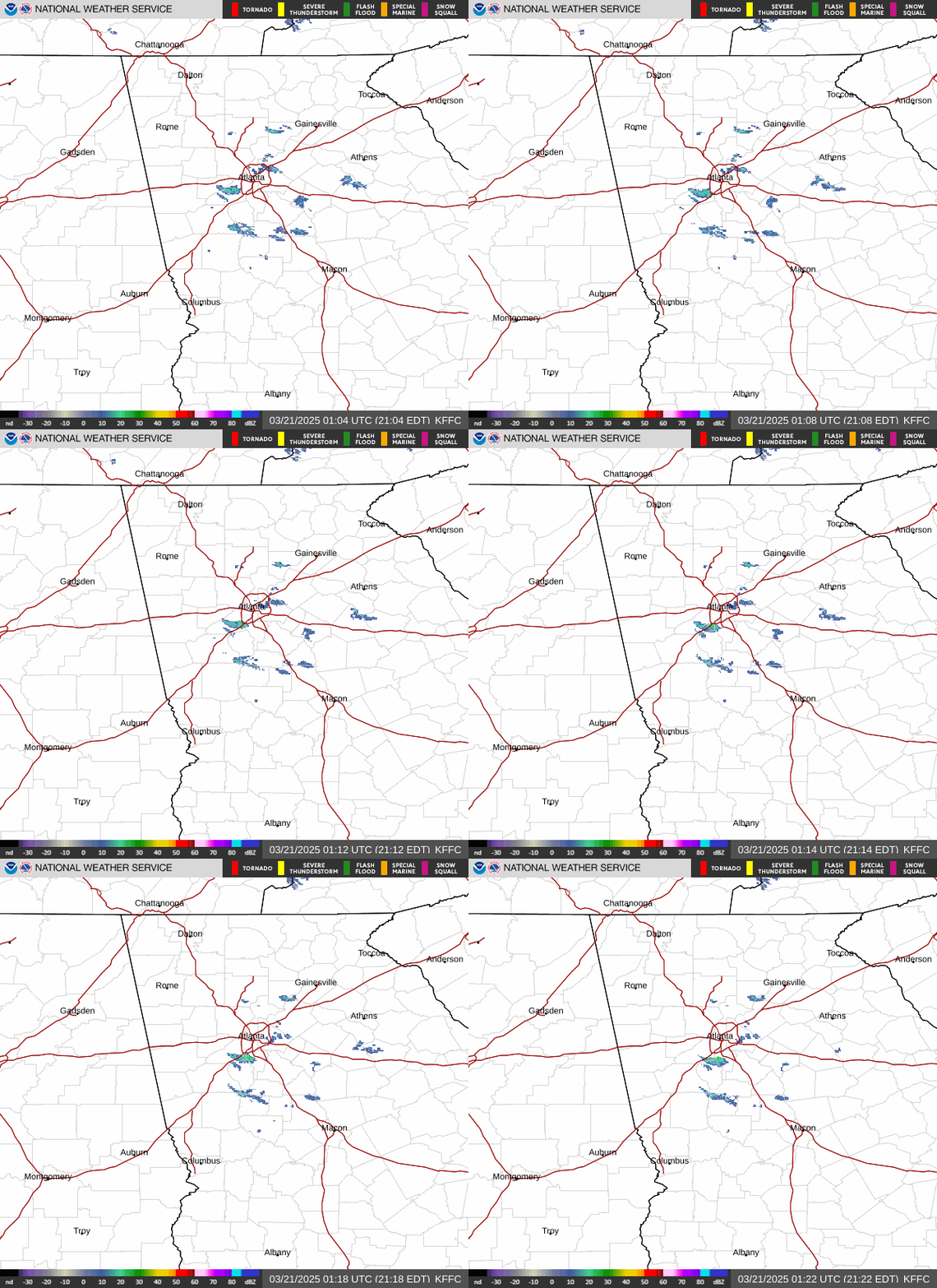
Georgia radar
Vanessa Johns is the Trending Topics Reporter for the Deep South Connect Team Georgia, covering food and entertainment. Email her at Vcountryman@gannett.com.
This article originally appeared on Savannah Morning News: How much rain will Hurricane Isaias bring to Georgia? See predictions