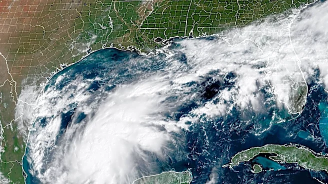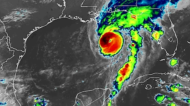




There are just hours until Hurricane Isaias makes landfall on the Gulf Coast, and even though Georgia is not on the cyclone's main path, residents should still act now. Here's the latest timeline:
When is the hurricane supposed to hit Georgia?
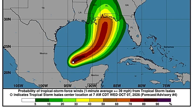
The most southern parts of Georgia may start seeing tropical weather around 8 p.m., but NWS Atlanta says the overall window of impact will be from midnight through Sunday evening. Current maps indicate the center of the storm will be in south Alabama around 7 a.m. tomorrow, in north Alabama around 7 p.m. Saturday, and in Tennessee by Sunday morning.
As it moves north, west Georgia communities will be impacted to varying degrees with Columbus projected to be hit hardest around 2 a.m. Saturday. It's looking parallel to the Atlanta area around 8 a.m. Saturday.
Most of Georgia isn't in the direct path, but forecasts show the storm curving as it heads out of Alabama late Saturday/early Sunday and it might put residents living in the very northwest corner of Georgia within the cyclone's path. While these counties are looking at hazardous weather, including high winds and flood watches, no tropical storm/hurricane watch or warning has been issued for this area.
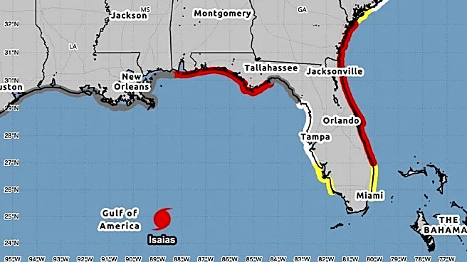
Tropical storm warnings were issued for Columbus, Americus, and other southwest communities Friday morning with no end-time. Here are some other notable advisories:
- Atlanta, Athens, and most of north Georgia
- High wind warning and flood watch 12 a.m. Saturday through 8 a.m. Sunday.
- Augusta, Macon, and surrounding counties
- Flood watch 12 a.m. Saturday through 8 a.m. Sunday.
- Wind advisory 12 a.m. to 11 p.m. Saturday.
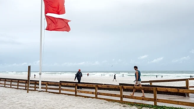
- Savannah: Rip currents expected now through 8 p.m. Friday.
Keep in mind that these are all forecasts based on the most recent data, and is subject to change based on multiple variables. All Georgians should practice necessary caution throughout this weekend and to stay tuned for the latest updates.
Tornado watches
A tornado watch is currently in effect through 9 p.m. Friday in southeast Georgia for Brooks, Decatur, Echols, Grady, Lowndes, Seminole, and Thomas counties. However, with these conditions, more tornadoes are possible in other parts of the state.
Watches and Warnings in Georgia: See the map
Where will Isaias make landfall?
Isaias is approaching the U.S. northern Gulf Coast and is likely to make landfall in the area of the Florida-Alabama border sometime tonight or early Saturday. A slight weakening is expected before reaching land, but it will remain a dangerous hurricane.
Hurricane Isaias tracker live
Hurricane Isaias spaghetti models
What category was Hurricane Katrina?
Katrina was a category 5 with winds of 175 mph back in 2005. Isaias has grown to a category 3 with maximum sustained winds of 120 mph, according to the most recent update by NWS.
Miguel Legoas is a Deep South Connect Team Reporter for USA Today. Find him on Instagram @miguelegoas and email at mlegoas@gannett.com.
This article originally appeared on Savannah Morning News: When will Hurricane Isaias hit Georgia? Latest timeline, warnings