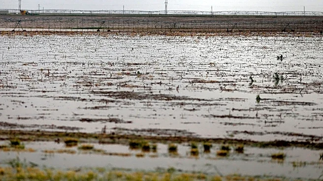

Lubbock and much of the South Plains and Panhandle were under a flood watch into Wednesday afternoon as lines of strong storms were moving through the region.
The National Weather Service in Lubbock issued
a flood watch for Hale, Hockley, Lubbock, Yoakum, Terry and Lynn counties through 1 p.m. Wednesday as flooding caused by excessive rainfall was possible, according to a statement from NWS.
"Multiple rounds of heavy showers and thunderstorms are expected across the region overnight," reads a statement from NWS Lubbock. "Storms may move repeatedly over the same areas, which combined with high rainfall rates may result in flash flooding. The threat for flooding is highest along and west of the I-27 corridor, and a Flood Watch is in effect for these areas. A few storms may also be strong to severe, with wind gusts up to 70 mph and perhaps a brief tornado or two. Additional showers and storms are possible through Wednesday night, especially off the Caprock. There is potential a few severe storms and for heavy rain leading to isolated flooding over the Rolling Plains Wednesday afternoon through Wednesday night."
What to expect from flooding in West Texas
Multiple rounds of heavy showers and thunderstorms are expected through early Wednesday. Storms may move repeatedly over the same areas, which combined with high rainfall rates may result in flash flooding.
According to the weather service, residents should monitor later forecasts and be alert for possible Flood Warnings.
Those living in areas prone to flooding should be prepared to take action should flooding develop.
This article originally appeared on Lubbock Avalanche-Journal: Lubbock, West Texas under flood watch as storms move through area