


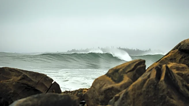
A developing coastal storm could bring dangerous surf, coastal flooding, rain and gusty winds to parts of New York this weekend, prompting Gov. Kathy Hochul to urge residents to monitor forecasts and prepare for changing conditions.
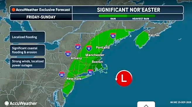
While the storm's exact track remains uncertain, forecasters say the greatest risk period for New York appears to be Friday through Sunday, with the highest impacts expected along Long Island, New York City waterfront communities and other Atlantic-facing shorelines.
"We do not currently anticipate widespread damage from this system but hazards along our coastlines, including dangerous surf and flooding, pose a very real threat to personal safety," Hochul said. "We also know how quickly coastal storms can change course,
so I urge New Yorkers in the affected regions to stay vigilant, monitor local weather forecasts and be ready to act if conditions change."
New York officials urge residents to prepare
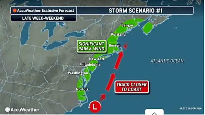
Hochul urged New Yorkers to closely monitor weather forecasts as the storm develops offshore and moves north along the East Coast.
State officials said the system could bring strong winds, dangerous surf, coastal flooding and beach erosion to parts of downstate New York through the weekend.
The National Weather Service says the storm's track remains uncertain, meaning impacts could change as new forecast information becomes available. Additional advisories, watches or warnings could be issued in the coming days.
When could the storm affect New York?
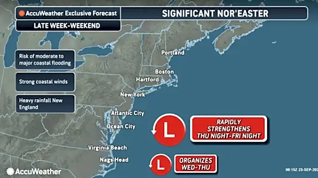
Forecasters expect conditions to begin deteriorating late this week as the storm strengthens offshore.
In New York, coastal impacts could arrive before any steady rainfall. Gusty winds, rough surf and the potential for coastal flooding are possible along portions of the coastline as conditions worsen.
Rain chances are expected to increase Friday and continue through the weekend. The timing and intensity of the heaviest rain and strongest winds will depend on the storm's eventual track.
Because the forecast remains fluid, meteorologists advise residents to watch for forecast updates through the weekend.
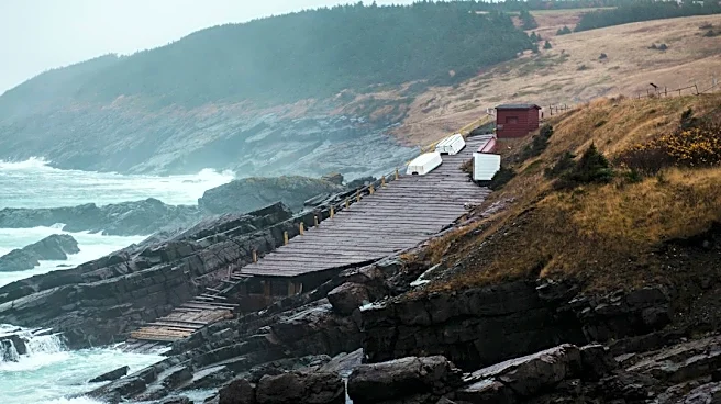
Coastal flooding and dangerous surf possible
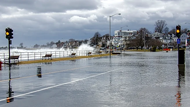
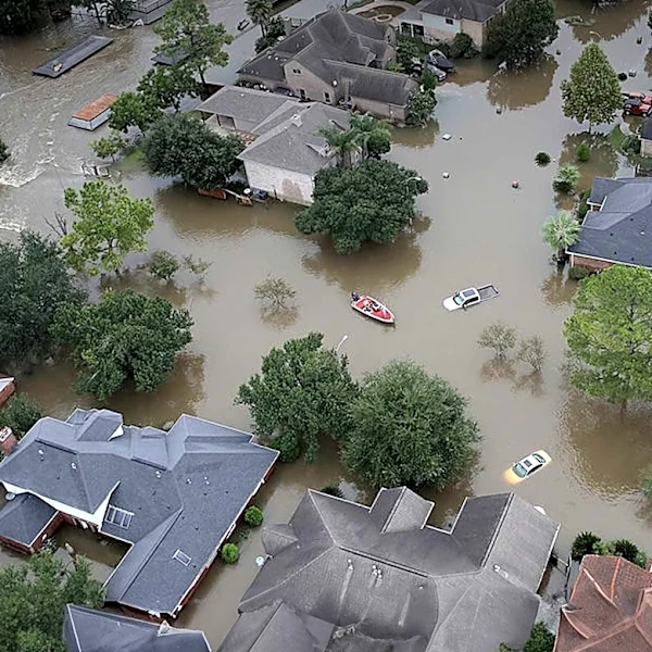
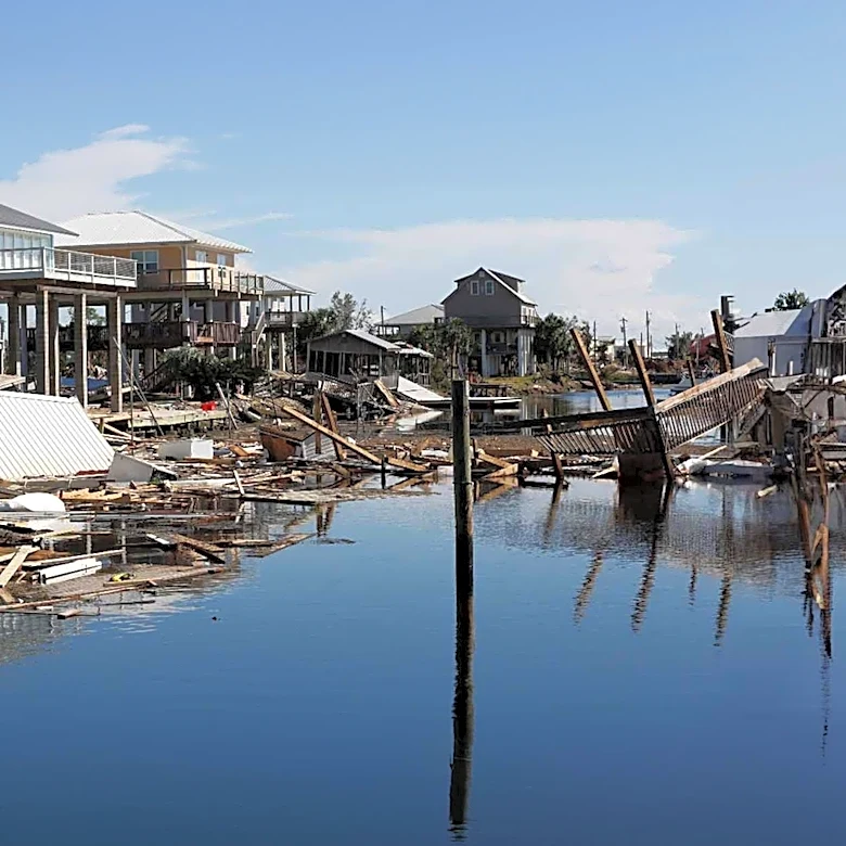
High tides combined with persistent onshore winds could lead to minor to moderate coastal flooding and beach erosion in vulnerable shoreline communities, according to the governor's office.
The National Weather Service says coastal flooding could become more widespread Friday evening into Saturday, with locally moderate flooding possible in some areas.
Forecasters are also warning of a high risk of rip currents along ocean-facing beaches. Life-threatening rip currents are possible, and residents and visitors are urged to stay out of the surf.
Areas most vulnerable to coastal impacts include:
- Long Island
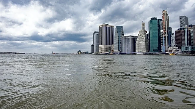
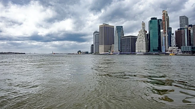
- New York City waterfront communities
- Other Atlantic-facing shorelines in downstate New York
Farther inland, impacts would likely be limited to periods of rain and breezy conditions unless the storm tracks closer to the coast than currently forecast.
Rain and gusty winds in the forecast
Periods of rain and gusty winds are possible from Friday into the weekend, particularly across New York City and Long Island.
However, the exact amount of rainfall and strength of the winds remain uncertain.
Meteorologists note that even relatively small shifts in the storm's track could change rainfall totals, wind speeds and coastal flooding potential across the region.
Which parts of New York face the greatest risk?
Current forecasts indicate the greatest threat is along the coast, where strong onshore winds would have the greatest effect.
Long Island, New York City waterfront neighborhoods and other Atlantic-facing shoreline communities face the highest potential for coastal flooding, beach erosion and rough surf.
Communities farther inland could see periods of rain and breezy conditions, though impacts would generally be less severe than those closer to the ocean.
What is a nor'easter?
According to the National Weather Service, a nor'easter is a large storm along the East Coast associated with strong northeast winds.
These storms typically develop near the Atlantic coast and can intensify as they move northward. While they often form off the Southeast or Mid-Atlantic coast, some of their greatest impacts occur in New York and New England.
Nor'easters can occur at any time of year but are most common between September and April.
Depending on the season, they can produce heavy rain or snow, strong winds, rough surf, coastal flooding and beach erosion.
How to get weather alerts
New Yorkers are encouraged to make sure emergency alerts are enabled on their mobile devices and to monitor updated forecasts throughout the weekend.
Residents can sign up for New York emergency alerts by texting their county or borough name to 333111.
The latest watches, warnings and advisories are available through the National Weather Service.
State agencies prepare for potential impacts
Hochul said state agencies have been directed to monitor the storm and remain prepared to respond to weather-related impacts.
The state Department of Transportation, Thruway Authority, State Police, Department of Environmental Conservation, Office of Parks, Recreation and Historic Preservation and other agencies are monitoring conditions and preparing personnel and equipment as needed.
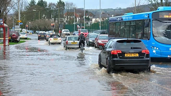
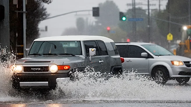
Motorists are urged to use caution, monitor road conditions and never drive through flooded roadways.
Residents in coastal and low-lying areas should continue monitoring forecasts and be prepared to follow emergency instructions issued by local officials if conditions worsen.
This article originally appeared on Rockland/Westchester Journal News: New York warns of possible coastal flooding as potential nor'easter approaches