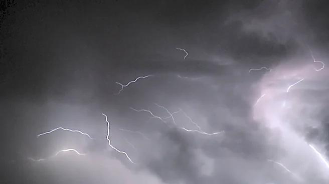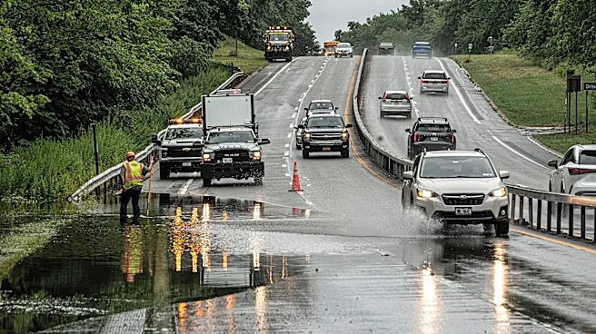




A flood watch has been issued for New York City, the Lower Hudson Valley and Long Island from 2 p.m. through late Thursday evening as heavy rain and thunderstorms could trigger flash flooding.
The National Weather Service issued the watch for New York City, Long Island, Westchester County and Rockland County.
Forecasters expect several rounds of showers and possibly thunderstorms to move through the region, producing widespread rainfall totals of 2 to 3 inches.
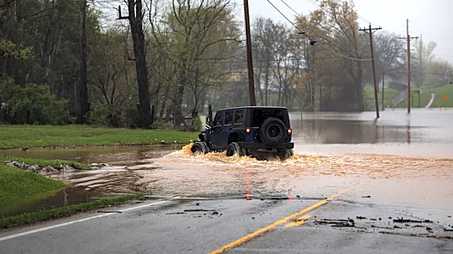
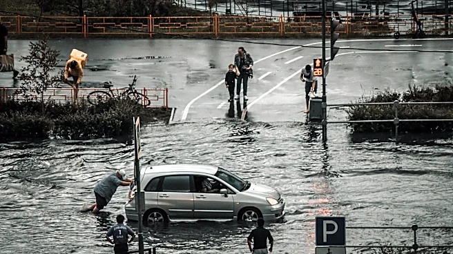
The heaviest rainfall could cause flooding on roads and in parking lots, basements and other low-lying areas. Rivers, creeks and streams also could rise quickly.
Downstate New York forecast
Thursday
Mostly cloudy, with a high near 82 degrees. Showers and possibly a thunderstorm are expected after 2 p.m. Some storms could produce
heavy rainfall, with three-quarters of an inch to 1 inch possible.
Thursday night will be cloudy, with a low around 66 degrees. Showers and possibly a thunderstorm are expected before 11 p.m., with 1 to 2 inches of additional rainfall possible from some storms.
Friday
Partly sunny, with a high near 79 degrees. Friday night will be mostly cloudy, with a low around 68 degrees. Showers are likely after 2 a.m.
Saturday
Mostly cloudy, with a high near 77 degrees. Showers are likely.
Saturday night will be mostly cloudy, with a low around 69 degrees and a 50% chance of showers.
Sunday
Overnight, partly cloudy with low temperatures near 67 degrees.
This article originally appeared on Rockland/Westchester Journal News: Flood watch issued for NYC, Hudson Valley as heavy rain threatens Thursday