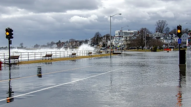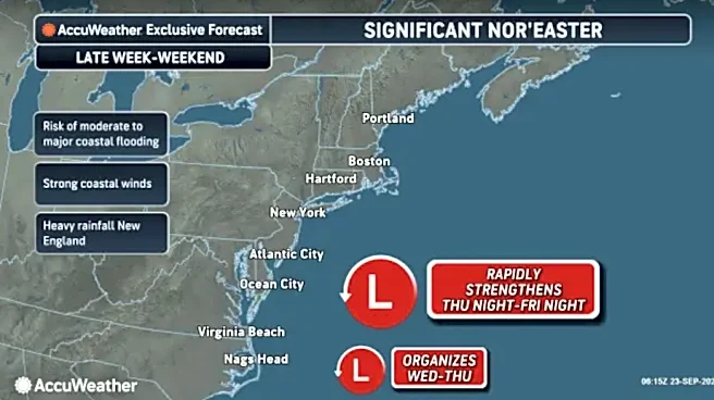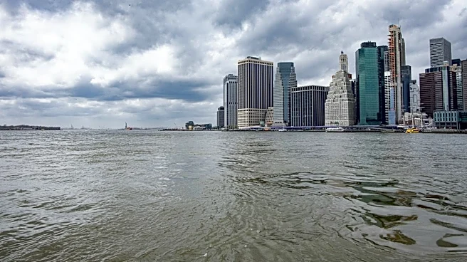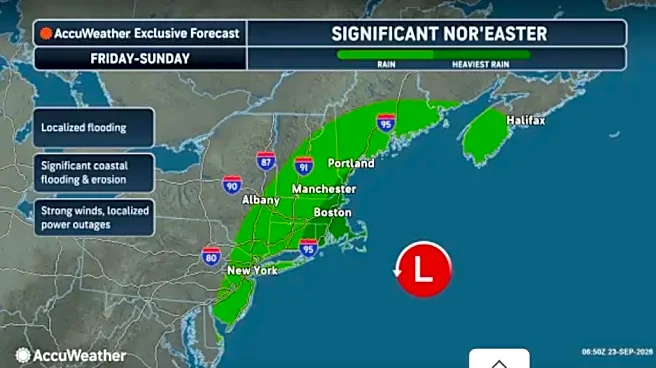



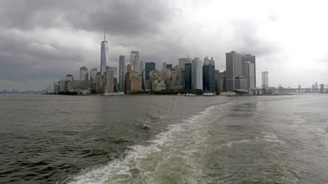
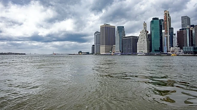
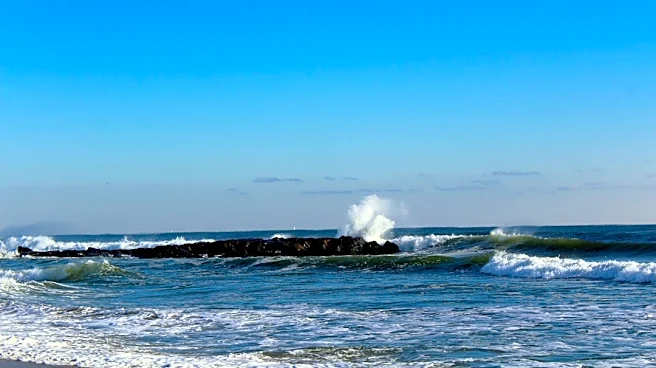
An early-season nor'easter is expected to bring coastal flooding, high surf, dangerous rip currents, strong winds and heavy rain to the New York City region through the weekend, prompting multiple warnings and advisories from the National Weather Service.
A Coastal Flood Warning is in effect from 6 p.m. Friday through 6 p.m. Sunday for New York City, southern Westchester County and Long Island. Forecasters expect the greatest flooding impacts during high-tide cycles Saturday and Sunday.
The National Weather Service forecasts up to 2 to 3 feet of inundation above ground level in the most vulnerable shoreline areas of New York City and southern Westchester County. Parts of Long Island could see 1 to 2 feet of inundation in low-lying coastal locations.
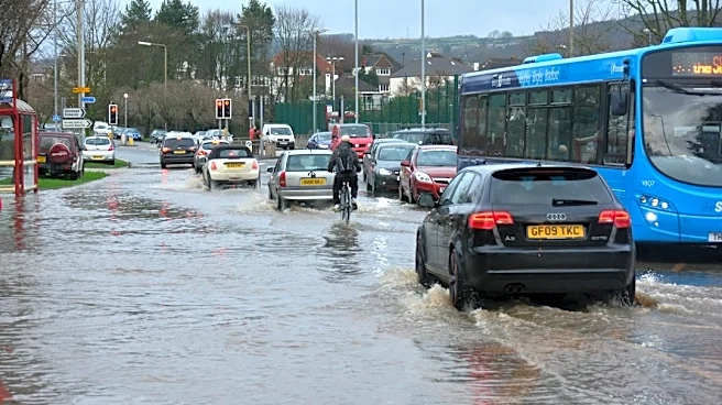
Forecasters warned that widespread flooding is possible in vulnerable waterfront areas, including roads, parking lots, parks, basements and yards. Road closures are possible, and vehicles parked in flood-prone areas may be damaged by rising water.
Areas under coastal flood warnings
The Coastal Flood Warning covers:
- Manhattan
- Brooklyn
- Queens
- The Bronx
- Staten Island
- Southern Westchester County
- Nassau County
- Suffolk County
Residents near the coast are urged to monitor forecasts and prepare for possible flooding during high-tide cycles this weekend.
High surf and rip current alerts issued
A High Surf Advisory remains in effect through 8 p.m. Saturday for Atlantic Ocean beaches in:
- Brooklyn
- Queens
- Nassau County
- Suffolk County
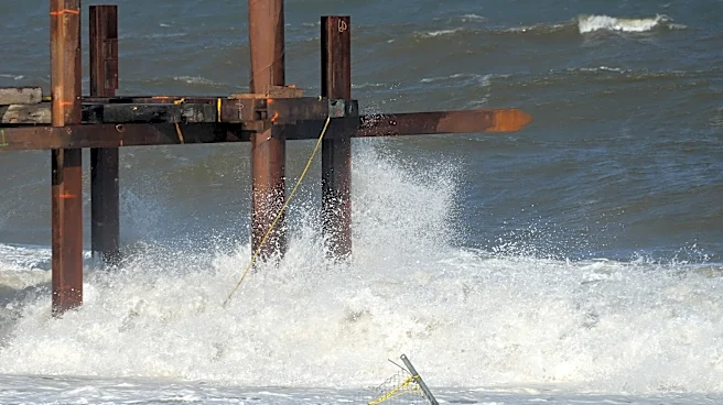
Breaking waves of 5 to 12 feet are expected along the coastline.
A High Rip Current Risk is also in effect through Saturday evening for the same areas. The National Weather Service warned that dangerous surf conditions and powerful rip currents could make entering the water life-threatening.
What to know about the nor'easter
According to the National Weather Service, a nor'easter is a large storm along the East Coast associated with strong northeast winds. These storms typically develop near the Atlantic coast and intensify as they move northward.
The storm strengthening offshore Friday is forecast to bring prolonged periods of rain and strong winds to the region. The National Weather Service has classified the system as an early-season nor'easter.
Forecasters expect the heaviest rainfall and strongest winds from Friday night through Saturday night, particularly across Long Island, Connecticut and southeastern New England.
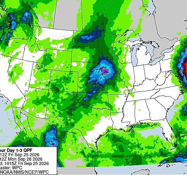
Forecasters expect 1 to 3 inches of rain across much of the region, with 3 to 4 inches possible across central and eastern Long Island, depending on the storm's exact track.
Persistent onshore winds are also expected to increase the threat of coastal flooding, beach erosion and hazardous surf, particularly along Long Island's ocean-facing shoreline.
New York weekend forecast
Friday
Cloudy with highs near 70 degrees. Winds will increase through the day, and rain is expected to develop Friday night.
Friday night's low will be around 55 degrees.
Saturday
Periods of rain, at times heavy, are expected throughout the day. High temperatures will reach the low 60s while strong north winds continue.
Rain will persist Saturday night with lows in the mid-50s.
Sunday
Rain and breezy conditions are expected to continue through much of the day before gradually diminishing. High temperatures will be in the mid-60s as the storm slowly weakens and begins moving away from the region.
Coastal flooding threats are expected to continue through Sunday's high-tide cycles.
This article originally appeared on Rockland/Westchester Journal News: Coastal flood warnings issued for NYC, Long Island as nor'easter approaches