


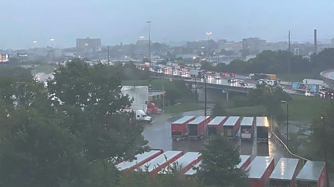
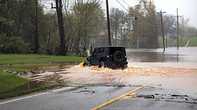
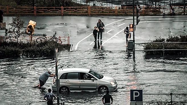
The National Weather Service New York office issued a Tornado Warning Thursday evening for parts of Queens and Nassau counties after radar indicated rotation within a severe thunderstorm moving northeast across the region. The warning highlighted the potential for a tornado, damaging winds and torrential rainfall.
Residents in the warning area were urged to take shelter immediately in a basement or an interior room on the lowest floor of a sturdy building. The weather service also warned that heavy rainfall could cause flash flooding.
Severe weather threats continue
Although the tornado warning has expired, the National Weather Service New York office continued to monitor severe weather and flooding threats across the New York City metropolitan area Thursday night.
The primary
concerns included:
- Heavy rainfall capable of causing localized flooding.
- Damaging winds from severe thunderstorms.
- Additional severe weather as storms move through the region.
No confirmed tornado reported
As of Thursday night, no confirmed tornado touchdown in New York had been reported in the sources reviewed.
A tornado warning means a tornado has been detected or indicated by radar, or is considered imminent. Confirmation typically comes through ground reports or a post-storm survey by the National Weather Service.
Residents can monitor the latest watches, warnings and advisories through the National Weather Service New Yorkoffice.
This article originally appeared on Rockland/Westchester Journal News: NYC area faces continued storm threat after tornado warning issued in Queens, Nassau