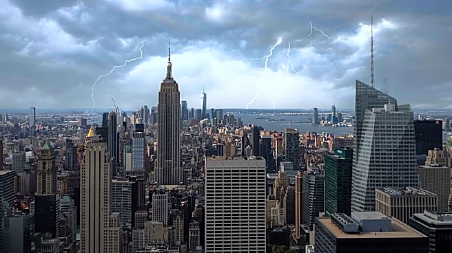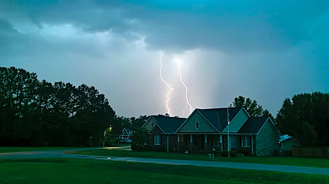






Severe thunderstorms brought bouts of torrential rain to the Lower Hudson Valley Thursday morning and afternoon, with more storms and heavy rain possible later in the evening.
A severe thunderstorm warning was issued between 11 a.m. and noon as a line of thunderstorms moved across Westchester and Rockland counties, at about 30 mph.
The storms produced wind gusts of at least 60 mph, hail measuring less than 0.75 inch and localized flash flooding in some areas.
Flood watch, advisory in effect for NYC region
A flood watch is in effect for parts of the Lower Hudson Valley as heavy rain and thunderstorms are expected Thursday, Aug. 27.
The National Weather Service said the flood watch is in effect from noon to 11 p.m. Thursday for New York City, Orange, Rockland, Putnam, Westchester and Nassau counties.
At 11 a.m., the Weather Service also issued a flood advisory through 2 p.m., warning that storms had already produced 0.5 to 1 inch of rain in a short period, resulting in minor flooding.
Areas expected to see the greatest impacts included New City, Ossining, Peekskill, Nanuet, Monsey, Mount Kisco and River Vale, New Jersey.
Additional thunderstorms later Thursday could produce rainfall rates of 1 to 2 inches per hour, particularly across New York City and nearby parts of Westchester County.
Thunderstorms could produce up to 2.5 inches of rain, with localized amounts of up to 3 inches possible. The heavy rainfall could lead to excessive runoff and flooding of rivers, streams and other low-lying and flood-prone areas.
This article originally appeared on Rockland/Westchester Journal News: Severe storms bring torrential rain to Hudson Valley; more possible tonight