




The New York City metro area could see unseasonably warm temperatures Wednesday, with highs approaching 80 degrees before a sharp cooldown arrives later this week.
Forecasts call for a high near 80 degrees in New York City on Oct. 14, well above the normal high for the date. The warmth is not expected to be enough to break the daily record.
According to the National Weather Service, the normal high temperature for Oct. 14 in Central Park is 65 degrees. The record high for the date is 84 degrees, set in 1920.
New York City forecast
Wednesday
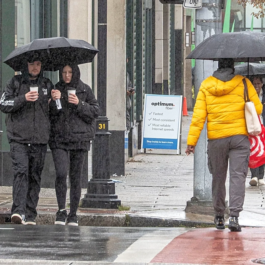
Mostly cloudy to partly sunny, with a high near 80 degrees. A chance of light rain is possible during the day.
Wednesday night will become mostly clear, with a low around 57 degrees.
Thursday
Sunny, with a high near 65 degrees.
Thursday night brings a chance
of rain, with a low around 58 degrees.
Friday
Showers are possible, with a high near 76 degrees.
Friday night will remain unsettled, with additional chances for rain and a low around 54 degrees.
Saturday
Much cooler air arrives, with a high near 56 degrees under partly sunny skies.
Saturday night will be clear and chilly, with temperatures falling to around 43 degrees.
Sunday
Sunny skies are expected, with a high near 57 degrees and a low around 46 degrees.
The forecast highlights a dramatic temperature swing, with highs dropping from around 80 degrees Wednesday to the mid-50s by the weekend.
This article originally appeared on Rockland/Westchester Journal News: NYC temperatures could hit 80 today. Here's when the cooldown arrives