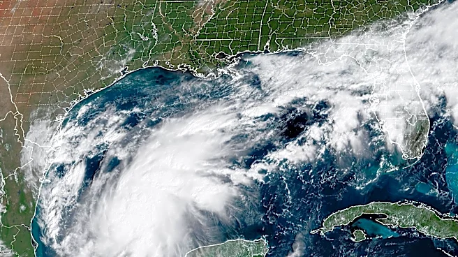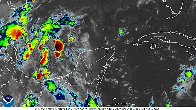


Isaias became the first Atlantic hurricane of the 2026 season shortly before midnight and is expected to strengthen further before reaching the northern Gulf Coast late Friday or Saturday.
The storm’s development ends an extraordinary four-month stretch without an Atlantic hurricane since the season began June 1. As of 8 a.m. Thursday, Oct. 8, Isaias is expected to become a Category 2 by early Friday. Right now, landfall looks late Friday night into early Saturday between Mobile and Panama City, likely near Pensacola.
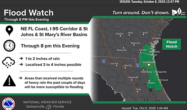
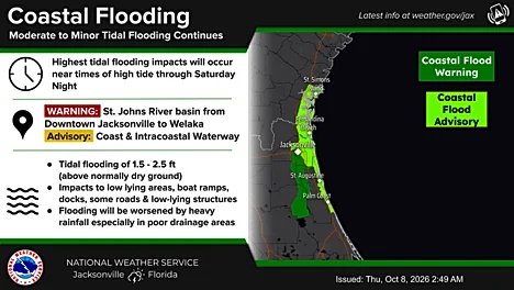
For Jacksonville, flooding remains the biggest concern.Jacksonville-area waterways and communities along the First Coast could see minor to moderate flooding around high tide as persistent onshore winds combine with unusually high tides.
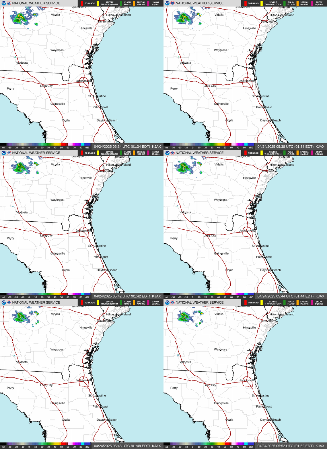
After a brief break from the showers, more thunderstorms are moving into the area.
As of 4 a.m. Thursday, Oct. 8, a Coastal Flood Warning remains in effect along the St. Johns River from downtown Jacksonville south to Lake George through Thursday afternoon.
Here’s where Isaias is headed and what Jacksonville residents need to know.
So, what local impacts will Isaias bring to Jacksonville?
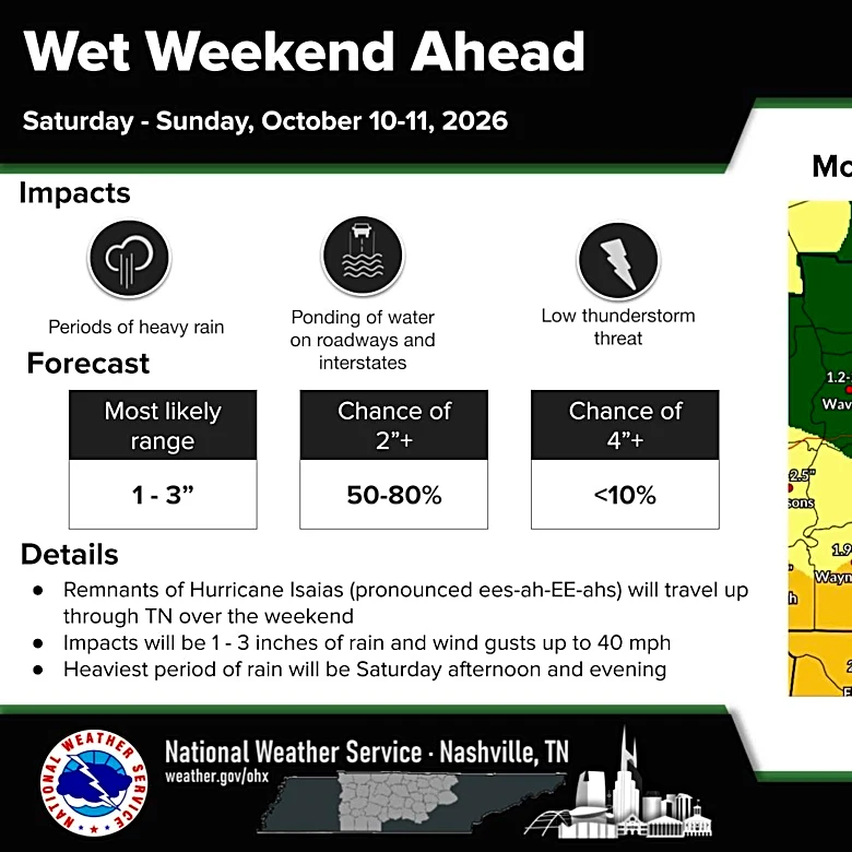
Isaias is expected to bring heavy rainfall Friday and Saturday to areas already saturated from the recent nor’easter. The National Weather Service is also warning that isolated severe thunderstorms could produce tornadoes.
A Coastal Flood Warning remains effect along the St. Johns River from downtown Jacksonville south to Lake George through Thursday afternoon.

How much rain can Jacksonville expect in the upcoming days?
- Today: High 82, low 71, with a 40% chance of rain during the day, decreasing to 30% tonight. Cloudy with a chance of showers and thunderstorms.
- Friday: High 81, low of 72, with a 70% rain of chance during the day, increasing to 90% overnight. Showers and thunderstorms likely. ¼–½ inch of rain possible.
- Saturday: High 84, low 73, with a 90% chance of rain during the day, dropping to 50% overnight. Showers and thunderstorms likely.
- Sunday: High 88, low of 71, with a 70% chance of rain during the day and 60% overnight. Showers and thunderstorms likely, especially later in the day.
NWS Jacksonville Radar
Where is Hurricane Isaias? See path
See spaghetti models for Hurricane Isaias
Doris Alvarez is a Breaking and Trending Reporter for The Florida Times-Union. You can get all of Jacksonville’s best content directly in your inbox each weekday by signing up for the free Daily Briefing and News Alerts newsletters at jacksonville.com/newsletters
This article originally appeared on Florida Times-Union: Hurricane Isaias strengthens as Jacksonville faces rain, flooding risk