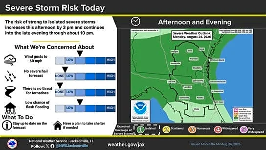




Jacksonville is looking at another hot and stormy start to the week, with a few strong to severe thunderstorms possible Monday afternoon and evening. However, no heat advisories are in effect across Northeast Florida, meaning cooler temperatures across the region.
According to the National Weather Service,the main concern will be strong wind gusts that could reach around 60 mph, along with heavy downpours that may cause localized flooding, especially in areas with poor drainage.
Here’s a look ahead at the weather forecast this week and how hot it will get.
Severe thunderstorms in Jacksonville Monday from 3 to 10 p.m.

What's the weather forecast this week?
- Monday: Hot and partly sunny, high 96, with a 60 percent chance of afternoon/evening thunderstorms. Mostly cloudy tonight, low 75.
- Tuesday: Increasing clouds, high 92, with a 60 percent chance of afternoon thunderstorms. Storms likely early tonight, low 72.
- Wednesday: Mostly sunny, high 91, with a 70 percent chance of afternoon/evening storms. Partly cloudy tonight, low 72.
- Thursday: Mostly sunny, high 91, with a 60 percent chance of afternoon storms. Partly cloudy tonight, low 73.
- Friday: Mostly sunny, high 92, with a 50 percent chance of afternoon storms. Mostly cloudy tonight, low 73, with a 30 percent chance of storms.
How much rain can Jacksonville expect? See precipitation map from August 24-27
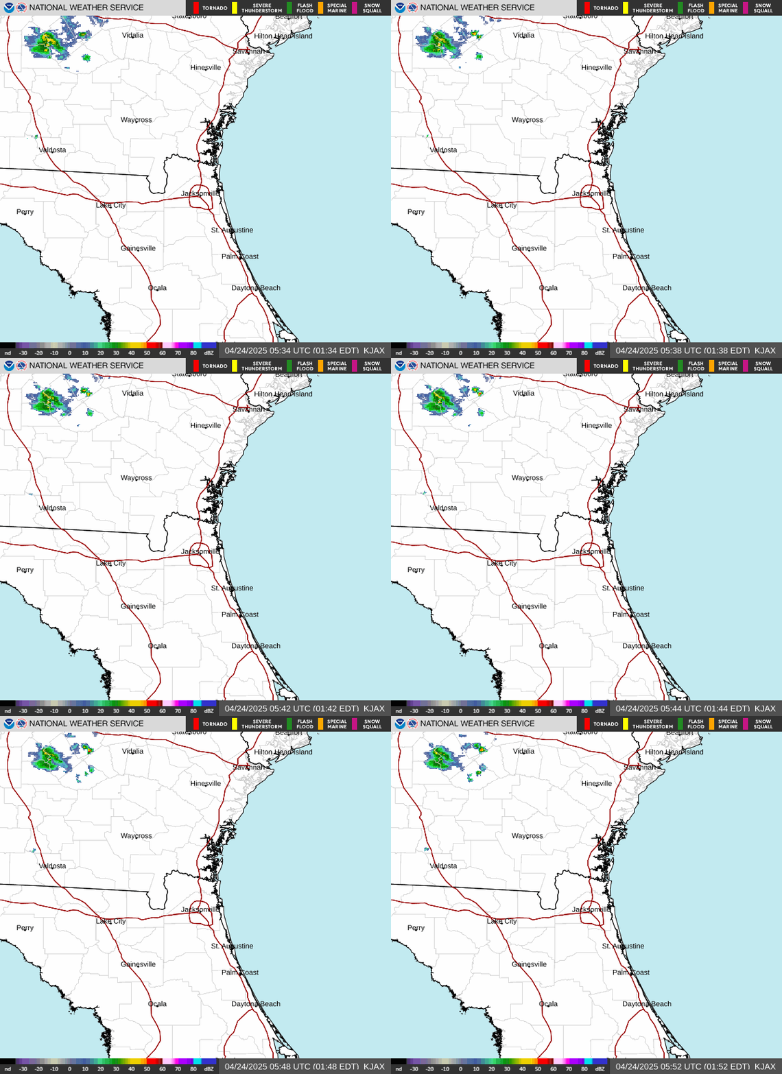
NSW Jacksonville Radar
Doris Alvarez is a Breaking and Trending Reporter for The Florida Times-Union. You can get all of Jacksonville’s best content directly in your inbox each weekday by signing up for the free Daily
Briefing and News Alerts newsletters at jacksonville.com/newsletters
This article originally appeared on Florida Times-Union: Thunderstorms on tap for Jacksonville this week. See forecast