





A line of strong showers and thunderstorms moving in from the west is to strike parts of Bucks County and South Jersey today, bringing heavy rain, fierce winds and the chance of isolated tornadoes.
“We’ll get a couple of different rounds of showers and storm, starting midday to early afternoon,” said Paul Fitzsimmons, lead meteorologist with the National Weather Service in Mount Holly, New Jersey. “Successive additional rounds will come through over the course of the afternoon and into evening.”
A flood watch is in effect along the Neshaminy Creek in Hulmeville and other portions of Lower Bucks. Most areas can expect 1-2 inches of rain, with localized totals of 3-4 inches possible.

The heavier amounts could fall within an hour or two, increasing
flash flood risk, as storm sewers become overwhelmed and small creeks and tributaries jump their banks.
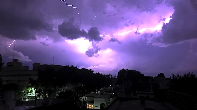
Wind gusts of up to 60 mph are possible, with thunder and lightning and possibly even tornadoes touching down.
Residents along the Neshaminy Creek are advised to remain alert for rising water and potential overflow. It's not advised to travel during the storm, as roadways can quickly become flooded and, in some cases, deceptively impassable.
Loose outdoor items, such as chairs and umbrellas should be secured, and residents should prepare for power outages.
The most widespread storm activity is expected this afternoon into evening, with a lull late tonight, followed by additional rainfall expected Wednesday and Thursday, though not as severe as today’s expected storm.
JD Mullane can be reached at jmullane@usatodayco.com.
This article originally appeared on Bucks County Courier Times: Severe storms, possible tornado threaten Lower Bucks, South Jersey