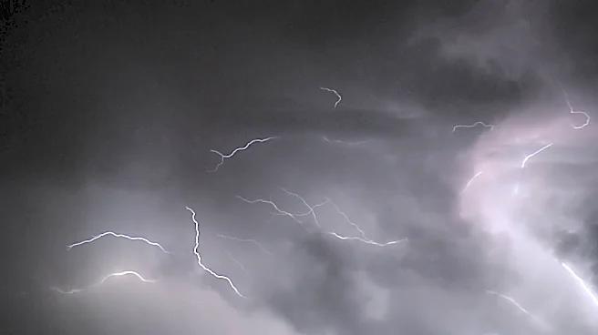

An incoming summer storm has placed Bucks County under a flood watch from noon until later Thursday night, the National Weather Service in Mount Holly, N.J. said. Heavy rains and high winds are expected.
The watch begins at noon until about later this evening
. Lower Bucks County is in the “active zone” the Weather Service said, which means there are chances of flooding of creeks, tributaries and the Delaware River.
“The primary threat from the storm is flash flooding, driven by heavy, excessive rainfall,” the Weather Service said.
Several rounds of showers and thunderstorms are expected across the wider area. Rain could fall from one to three inches per hour, but in localized areas the storm could drop three to five inches per hour at its height.
“Flooding may occur in poor drainage and urban areas. Creeks and streams may rise out of their banks. Excessive runoff may result in flooding of rivers, creeks, streams, and other low-lying and flood-prone locations,” the Weather Service said.
It advises travelers to be wary of driving during the storm, as high winds, falling trees and branches, and possible hail will make road conditions hazardous.
The Weather Service reminds drivers not to drive through standing water, since it is often deeper than it appears.
Residents along the Neshaminy Creek should monitor water levels, which, with the forecast rainfall, can rapidly rise over its banks.
Also, prior to the storm, check that home rain gutters are clear. If you live near a municipal storm sewer, check to keep the grate clear of debris which can create local flooding on residential streets.
JD Mullane can be reached at jmullane@usatodayco.com.
This article originally appeared on Bucks County Courier Times: Bucks County weather calls for heavy rain. Flood watch issued