





A flash flood warning was issued by the National Weather Service in Mount Holly at 12:58 p.m. on Wednesday, Aug. 5. This warning applies to Burlington, Camden, Gloucester, Bucks, Montgomery and Philadelphia counties.
The NWS warns: "Turn around, doN't drown when encountering flooded roads. Most flood deaths occur in vehicles. Be aware of your surroundings and do not drive on flooded roads."
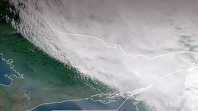
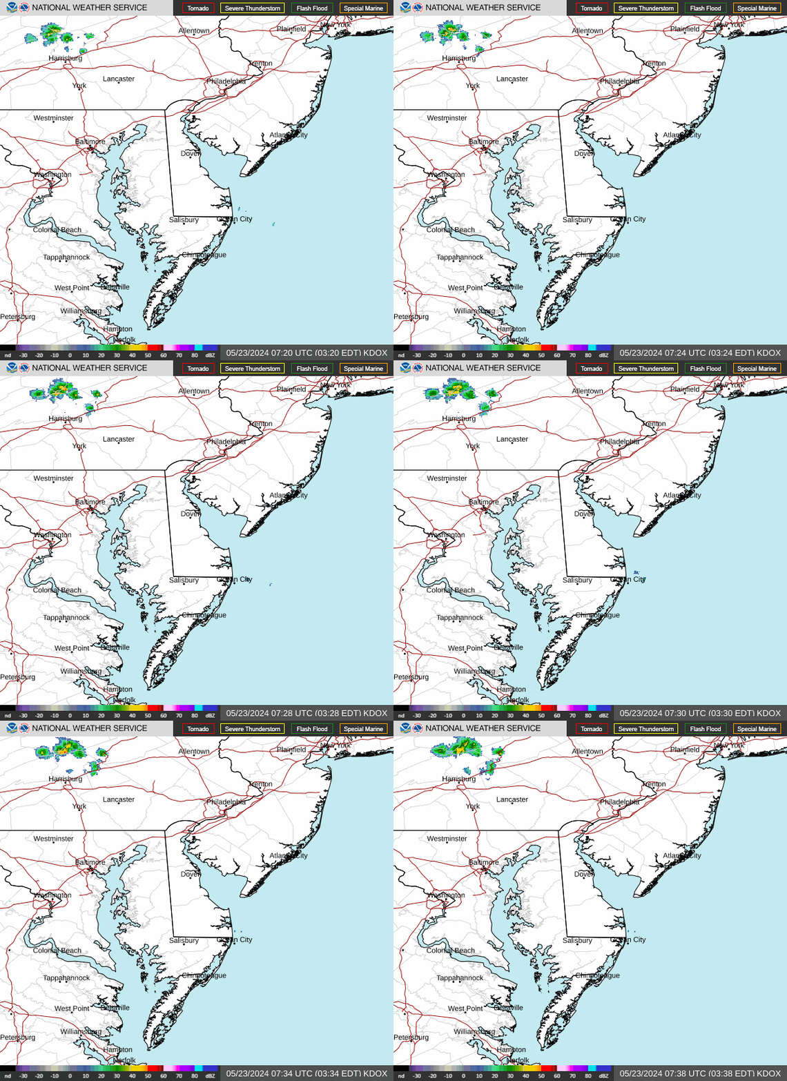
Bucks County weather radar
What are NWS meteorologists saying?
At 12:58 p.m., the NWS issued a statement including the following information:
"The National Weather Service in Mount Holly has issued a Flash Flood Warning for: Northwestern Burlington County in southern New Jersey, Northwestern Camden County in southern New Jersey, Northeastern Gloucester County in southern New Jersey, South Central Bucks County in southeastern
Pennsylvania, Southeastern Montgomery County in southeastern Pennsylvania, Central Philadelphia County in southeastern Pennsylvania, Until 5 p.m. EDT. At 12:58 p.m. EDT, Doppler radar indicated heavy rainfall moving towards portions of the warned area. The expected rainfall rate is 0.5 to 1 inch in 30 minutes. Additional rainfall amounts up to 2 inches are possible in the warned area. Flash flooding is ongoing or expected to begin shortly.
HAZARD: Flash flooding caused by heavy rainfall.
SOURCE: Radar.
IMPACT: Flooding of small creeks and streams, urban areas, highways, streets, and underpasses as well as other drainage and low lying areas. Some locations that may experience flash flooding include: Philadelphia, Camden, Gloucester City, Cherry Hill, Bensalem, Mount Laurel, Willingboro, Lumberton, Bellmawr, Burlington, Bristol and Mount Holly. This includes the following highways, Interstate 295 in New Jersey between mile markers 25 and 48. New Jersey Turnpike between exits 3 and 5. Interstate 76 in Pennsylvania near mile marker 351. Interstate 95 in Pennsylvania between mile markers 19 and 40. Interstate 676 in New Jersey between mile markers 0 and 4. Interstate 76 in New Jersey between mile markers 0 and 3. Pennsylvania Turnpike between mile markers 348 and 355."
What is a flash flood?
Flash floods can develop within six hours of heavy rain, dam or levee failure. They can uproot trees, destroy buildings and bridges and trigger mudslides. Flash floods are usually characterized by raging torrents after heavy rains.
Flash floods can even occur in areas that aren't receiving rain, the NWS warns.
Warning vs watch: What is a flash flood warning?
A flood watch is issued when conditions are favorable for flooding, according to the NWS. It doesn't guarantee flooding will occur, but it means flooding is possible.
A flash flood warning is issued when a flash flood is imminent or already happening, USA TODAY reported. If you're in a flood-prone area during a flash flood warning, move to higher ground immediately.
Remember: Turn around, don't drown.
What to do during a flood warning
- If advised to evacuate, do so immediately.
- Use a battery-powered radio or TV to get the latest emergency information.
- Do not walk through floodwater - just 6 inches of moving water can knock you off your feet.
- Turn around, don't drown: Never drive into a flooded street. Two feet of moving water can sweep away a car, and roads may be washed out.
- Watch for fire hazards.
- Move to higher ground.
- Stay alert and keep weather notifications on.
- Keep children away from floodwaters - they can hide rocks, trees, and debris.
Pennsylvania weather watches and warnings
Stay informed. Get weather alerts via text.
This weather report was generated automatically using information from the National Weather Service and a story written and reviewed by an editor.
See the latest weather alerts and forecasts here
This article originally appeared on Bucks County Courier Times: Flash flood warning issued for Bucks County