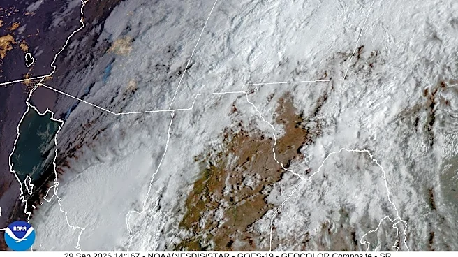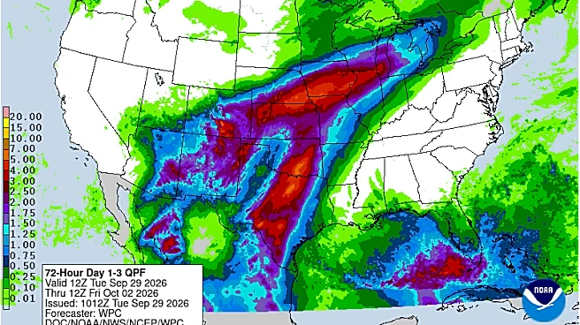









Corpus Christi has a good shot for rain through Oct. 4 — and potentially multiple inches.
Most of the coverage area, as of the morning of Oct. 2, had seen at least an inch of rain already, according to a map posted to the site of the local National Weather Service office.
That means there is still potential for flooding, although most of the flood watch that was in effect the morning of Oct. 2 was primarily outside Corpus Christi’s city limits. It will remain in place through 7 p.m.
Rivers, creeks and some low-lying areas, including roads, will be vulnerable to flooding if there is heavy rainfall, according to the NWS. Most of the area affected is around Highway 281 and west
of its route.
However, the graphic adds, flooding could occur in “any areas that have saturated top soils.”
“River flooding remains a possibility though confidence is low and mostly driven by continuous, heavy rainfall within the vicinity of any given river,” it states. “Continue to monitor.”
Temperatures will remain on the warm end, despite cloudy skies, the forecast shows.
Oct. 2 is expected to have highs in the mid- to upper 80s with a 70% chance of rain and, overnight, lows of about the low to mid-70s with a 30% to 60% chance of rain, according to the NWS.
Oct. 3 also has a high chance for rain during both the day and night at 80%, the site shows, with dayside temperatures around the high 80s and low to mid-70s overnight.
Oct. 4 remains with a high chance of rain at about 70% during the day, paired with temperatures in the mid-80s and, overnight, a 60% chance of rain and lows of the lower 70s, according to NWS meteorologists.
Kirsten Crow covers city government and water news. Have a story idea? Contact her at kirsten.crow@caller.com.
Consider supporting local journalism with a subscription to the Caller-Times.
This article originally appeared on Corpus Christi Caller Times: Rain is here to stay through weekend in Corpus Christi. Here's how much