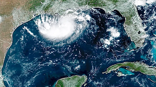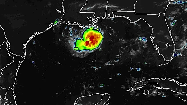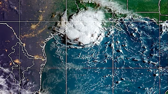

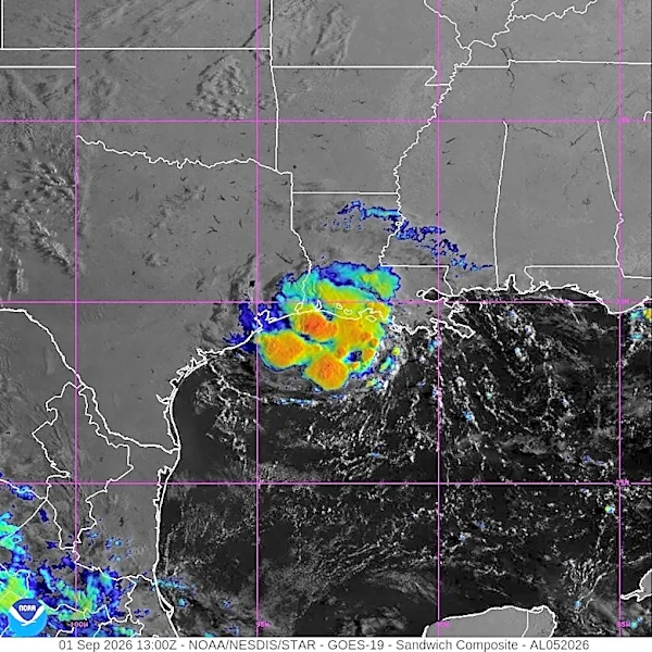




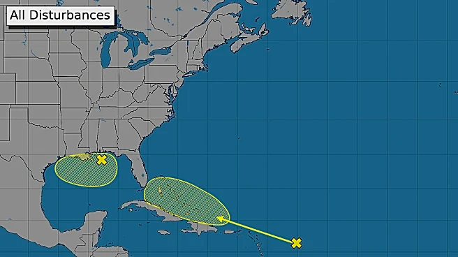
Tropical Storm Edouard was forecast to hit the upper Texas coast by early Sept. 2, likely without major impacts or threats to South Texas.
According to a 1:31 a.m. Sept. 1 forecast discussion from the National Weather Service Corpus Christi, there could be a moderate risk for rip currents north of Port Aransas through Sept. 2.
There could be extra cloud coverage in South Texas, but hot weather is still expected. Heat index values are expected to rise as high as 111 on Sept. 2.
Chances of showers and storms are expected to drop to 20% to 30% through the weekend on nearshore and offshore waters north of Port Aransas from 30% to 50% chances Sept. 1.
As of 4 a.m. Sept. 1, the National Hurricane Center forecasts Edouard was forecast to make landfall
near the Texas-Louisiana border on Sept. 1 and track through East Texas on Sept. 2.

The storm could increase rain chances across the Victoria Crossroads area, according to the National Weather Service.
Edouard is the fifth named storm this Atlantic hurricane season.
Olivia Garrett reports on education and community news in South Texas. Contact her at olivia.garrett@caller.com.
This article originally appeared on Corpus Christi Caller Times: How Tropical Storm Edouard may affect South Texas