





A National Weather Service investigation did not find evidence of a tornado in Greene County this week, though experts are still sorting through additional evidence there and in Blount County.
The storms hit mountainous areas, which make it extremely difficult to get to the site to search evidence on the ground.
On July 29, the National Weather Service said it had survey crews on the ground in Camp Creek in Greene County to determine if storm damage was indeed a tornado or straight-line wind damage. An initial review of images and radar data point to straight-line winds from the destructive thunderstorm.
Satellite data is being collected to determine if debris patterns in the mountains point to a tornado.
In Blount County, the storm produced "highly
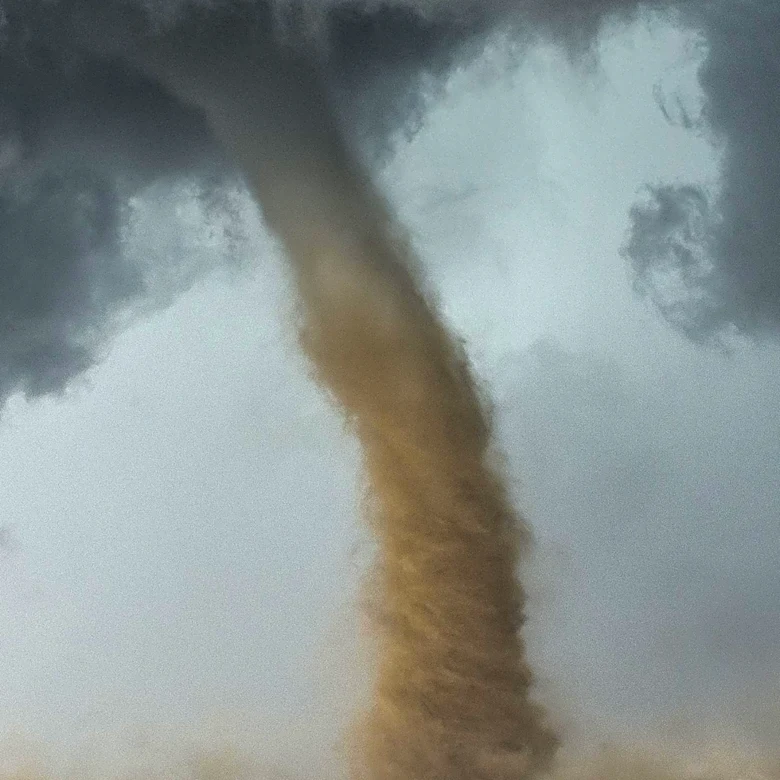
visual rotating funnel clouds" near Happy Valley Road, but a tornado path hasn't been determined. Crews are looking for the potential tornado path length, width and wind intensity.
The NWS says many people confuse straight-line wind damage with tornado damage. Here are some ways to recognize the difference:
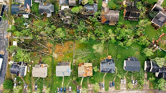
Straight-line wind damage will cause all debris to lay in a flat line, in the same direction as the wind flow.
Damage caused by a tornado result in debris laying in various angles due to wind blasting in from all directions.
Straight-line winds can exceed 165 miles per hour, and tornado winds can range from 40 to over 300 miles per hour, both create a loud roaring sound, which leads to confusion between the two.
Trees can sometimes be "twisted off" which can lead to people thinking straight-line wind damage was actually a tornado, according to the NWS.
This article originally appeared on Knoxville News Sentinel: National Weather Service makes rulings on Tennessee tornadoes but collects more data