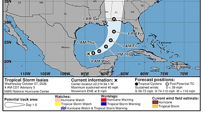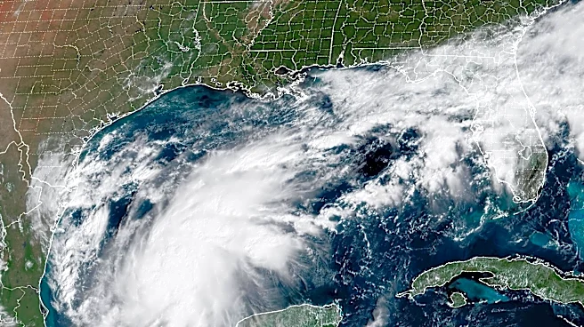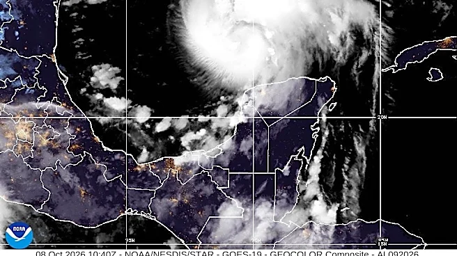




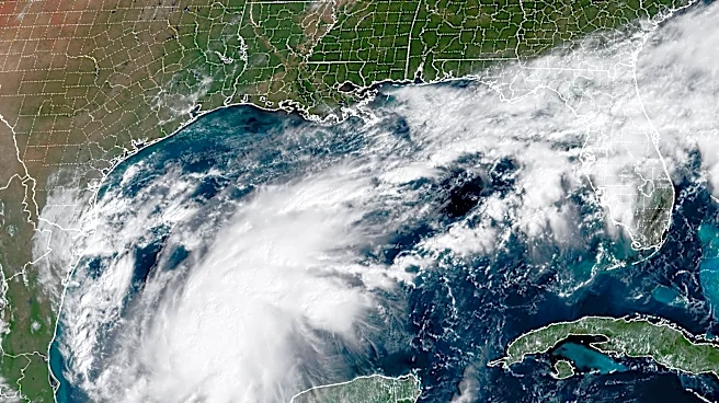

Tropical Storm Isaias formed in the Gulf on Oct. 7, according to the National Hurricane Center. One day later, on Oct. 8, Isaias intensified into a hurricane.
Hurricane Isaias is classified as a Category 1 hurricane but could strengthen into a Category 2 hurricane with winds of up to 110 mph by Oct. 9.
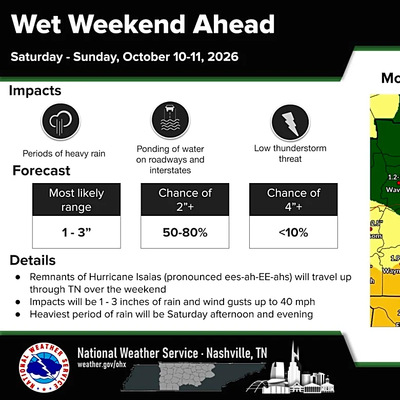
The storm will have a more significant impact on Middle Tennessee and West Tennessee as it continues progressing, but East Tennessee will have its weather affected by the remnants Isaias, according to the National Weather Service.
Shop storm survival essentials on Amazon
The storm will have a more significant impact on Middle Tennessee and West Tennessee as it continues to progress, but East Tennessee will have its weather affected by the remnants
of Isaias, according to the National Weather Service.
How Hurricane Isaias is expected to impact Knoxville and East Tennessee
As Hurricane Isaias continues on its path, strong winds and heavy rain are expected to impact East Tennessee.
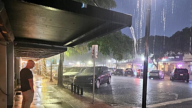
Winds could reach up to 70 mph in the mountains and around 30 to 40 mph in the plateaus, according to the NWS. Widespread rain is also expected across the entire region. One to 2 inches is expected and there could be flash flooding in some areas.
Chattanooga and the surrounding area including, Bradley, Cherokee, Clay, Hamilton, Marion, Polk and Sequatchie Counties will all be under a flood watch beginning late Friday night and lasting until Sunday morning.
Remnants of Hurricane Isaias will bring heavy rain and strong, gusty winds to our area this weekend. High winds could top 60–70+ mph in the eastern TN mountains and foothills, with isolated flash flooding possible in heavy rainfall areas. pic.twitter.com/MyQmzGiNwi
— NWS Morristown (@NWSMorristown) October 8, 2026
There is also a possibility of tornados developing across East Tennessee, according to AccuWeather.
Will Isaias alleviate drought conditions in East Tennessee?
Parts of East Tennessee including, Anderson, Bradley, Cumberland, Fentress, McMinn, Morgan, Polk and Scott Counties are all abnormally dry, according to the U.S. Drought Monitor. Other parts of the region including, Blount, Cocke, Claiborne, Grainger, Greene, Hamblen, Hawkins, Jefferson, Knox, Sevier and Sullivan counties are not in a drought.
Rainfall from Isaias will have a small impact on East Tennessee.
"It (Hurricane Isaias) will definitely be a help, no doubt," NWS Morriston Meteorologist David Hotz said. He added that it would not make a significant difference.
In Knoxville the total rainfall for the year is around 36 inches. Hotz said that is about 4 inches below normal for this time of year.
Hurricane tracker: Where is Hurricane Isaias now? Follow the storm's path
This forecast track shows the most likely path of the center of the storm. It does not illustrate the full width of the storm or its impacts, and the center of the storm is likely to travel outside the cone up to 33% of the time.
Hurricane Isaias spaghetti models
The illustration includes an array of forecast tools and models, and not all are created equal. The hurricane center uses only the top four or five highest-performing models to help make its forecasts, and not all of them are publicly available.
Afton Pratt covers trending and breaking news for Knox News and Tennessee. She can be reached at ampratt@usatodayco.com.
This article originally appeared on Knoxville News Sentinel: Will Hurricane Isaias impact Knoxville, East TN? Track the storm's path
Our editors independently choose our recommendations. Some content is produced with paid support from a third party, however our editorial decisions remain independent. If you buy through our links, the USA TODAY Network may earn a commission. Prices and availability may change.