


New Delhi, Feb 14 (PTI) A tiny piece of junk may be harmless on Earth, but even the slightest impact from such debris hurtling through space at high speed can prove fatal for a spacecraft.
There are more
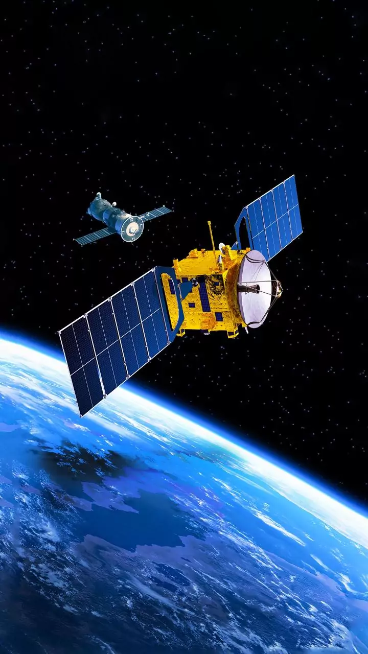
than a million such objects of one centimetre in size and bigger orbiting the Earth, tracked continuously by experts to prevent collision accidents that can put a billion-dollar space mission in jeopardy.
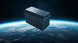
Space engineers in India and across the world are using artificial intelligence to track more than a million orbits of such debris to determine their possible collision with active satellites and space assets.
"There have been a lot of cases where at least per year, we have seen more than 15 conjunction, close proximity warnings for a single 50-kg satellite," Anirudh Sharma, founder and CEO of Digantara Industries, told PTI.
Digantara specialises in the area of space situational awareness, which means keeping a track of objects orbiting in space that include active and defunct satellites, remnants of disintegrated satellites and even asteroids that zip past in space.
"When we do space domain awareness, we primarily track objects. It is important for us to know where this object will be, let's say, seven days later, for which we currently use statistical models because they are proven and have been adopted for ages," he said.
Sharma said on the analytic side, Digantara has designed a software for a space domain awareness application, which uses AI to primarily assess any changes, patterns or violations of objects in orbit.
"As orbital congestion rises, India's emerging focus on space situational awareness and debris monitoring underscores why trustworthy AI is now a safety imperative, not a nice-to-have," Lt Gen A K Bhatt (retd), Director General of Indian Space Association (ISpA), said.
Pixxel Space, the Bengaluru-based start-up building a constellation of Earth observation satellites, has been using AI to sift through the vast space imagery data it collects from satellites.
"I think artificial intelligence is very well suited to a data set like satellite imagery because there are petabytes and petabytes of this data that no human can possibly sit down and go through," Awais Ahmed, founder and CEO of Pixxel Space, told PTI.
He said AI models can go through all data and monitor the minutest of changes that are taking place to ensure better action on issues relating to areas as diverse as border security, agricultural farms, yield of crops, oil and gas leaks or sources of pollution.
Ahmed said Pixel has an AI platform called Aurora, where several models are already built in to make sure that a combination of four data sets -- very high resolution data, hyperspectral data, SAR data and multisspectral data -- can be combined to provide a holistic view.
He said advances in the field of AI have also made it possible to shift data centres to space-based platforms.
"Being able to just put GPUs and compute on satellites and launch quite a few of them and utilise the free solar power that you get there, we could take images of a certain area, completely analysed in orbit and only the report or the insight can be downlinked," Ahmed said.
Digantara's Sharma believes that AI certainly will benefit a lot of space applications that are happening all across the world at this point in time.
"One of the things that we are very keen on is autonomous satellite operations, which means if there is debris or an active satellite coming close to you, it should automatically learn that there is an object within a certain vicinity and then tend to avoid a collision," he said.
Digantara is working on the use of an algorithm that can be fed onto its next bunch of satellites, enabling them to communicate with each other and apply some concepts of autonomous satellite operations.
"It will definitely become a reality in the next five years because autonomous satellite operations will be key to ensuring the sustainability in the orbits that the satellites are being operated at this point in time," Sharma said.
GIS technology firm Esri India is integrating AI into GIS applications, which are crucial for building the country's geospatial and AI readiness.
"Our new GIS and AI Competency Centre in Noida, backed by an investment of Rs 150 crore, brings together AI specialists, data scientists, and GIS experts to develop intelligent solutions that empower our customers to extract richer insights from complex geospatial data, automate routine workflows, and make faster, more informed decisions," Agendra Kumar, Managing Director, Esri India, said.
Kumar said AI represents the future, and through collaborative efforts in building capabilities and nurturing talent, India can establish a strong global footprint in AI-driven geospatial innovation.
"Our algorithms automate imagery classification, filter low-quality data like cloud cover and detect subtle changes in terrain or infrastructure over time," Rupesh Kumar, Chief Technology Officer and co-founder of Suhora Technologies, said.
He said the firm is also building predictive models that help users anticipate trends and guide future action, not just understand what has already happened.
"Our mission is to simplify complex space analytics and make satellite intelligence accessible, scalable and actionable for every sector," said Kumar.
Lt Gen A K Bhatt said AI was fast becoming the operating layer of India's space economy, helping companies design smarter missions, run spacecraft more autonomously and turn raw space data into real-world decisions at scale.
"AI is rapidly reshaping the space and satcom sector from connectivity to cognitive infrastructure. In satellite communications, the biggest change is that networks are starting to learn from their own telemetry, using machine learning to spot anomalies early, predict congestion and service degradation, and automate troubleshooting so availability improves even as traffic and complexity rise," Gautam Sharma, Managing Director, Viasat India, said. PTI SKU RHL
RHL