What's Happening?
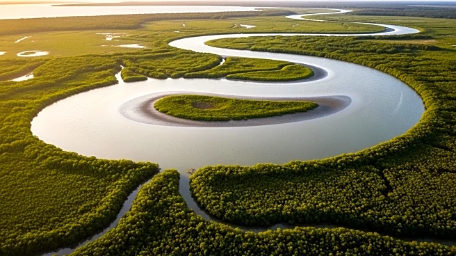
The NASA Earth Observatory has released images captured by the Operational Land Imager on Landsat 8, showcasing the dynamic tidal activity in the Rokan River Estuary on the Indonesian island of Sumatra. The images, taken on June 23, 2024, reveal brushstroke-like patterns formed by tides and sediment near the river's mouth. The estuary experiences significant tidal ranges, averaging 5 meters during full moons, which drive powerful currents capable of moving sediment. This tidal activity, including tidal bores, influences the distribution of sediment and can alter the shape of shorelines over time.
Why It's Important?
Understanding tidal activity and sediment distribution is crucial for environmental management and planning in coastal regions. The insights provided by NASA's imagery can aid in predicting changes in shoreline configurations, which are vital for local communities and ecosystems. Such data can inform strategies to mitigate erosion, manage fisheries, and protect habitats. Additionally, the study of tidal bores and sediment transport mechanisms contributes to broader hydro-oceanographic research, enhancing knowledge of natural processes that affect coastal dynamics.


