


What's Happening?
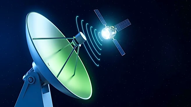
VectorNav Technologies has announced the enhancement of its Inertial Navigation Systems (INS) by integrating Low Earth Orbit (LEO) satellite signals to improve alternative positioning, navigation, and timing (APNT) capabilities. This development, in collaboration
with NAL Technologies, is initially available as a development kit centered on the VN-210E GNSS-Aided INS. The integration allows users to input Iridium Satellite Time & Location (STL) signals into VectorNav’s architecture alongside traditional inertial and GNSS data. During testing in GNSS-denied conditions, the satellite-aided navigation demonstrated a positioning performance within approximately 50 meters Circular Error Probable. The VN-210E system features multiple serial interfaces and a tightly-coupled extended Kalman filter, enabling the incorporation of LEO measurements alongside other navigation technologies.
Why It's Important?
The integration of LEO satellite signals into VectorNav's INS represents a significant advancement in navigation technology, particularly in environments where traditional GNSS signals are unreliable or unavailable. This enhancement provides a more resilient navigation solution by utilizing stronger signals from LEO satellites, which are less susceptible to jamming and environmental obstructions. The development is crucial for industries relying on precise navigation, such as unmanned systems, autonomous vehicles, and military applications. By offering a stable navigation solution through multiple independent sources, VectorNav enhances the reliability and accuracy of navigation systems, potentially reducing operational risks and improving efficiency in critical applications.
What's Next?
Future iterations of this technology will focus on deeper hardware integration, reduced size, weight, power, and cost (SWaP-C), and streamlined deployment for production programs. VectorNav plans to extend this capability to its wider Tactical Series, including the VN-210, VN-310, and VN-310E Dual Antenna GNSS/INS products. The company aims to maintain a stable navigation solution by fusing multiple independent sources, ensuring resilience even when a single input is degraded or denied. This ongoing development could lead to broader adoption of LEO satellite integration in various navigation systems, further enhancing their performance and reliability.