


What's Happening?
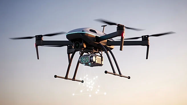
Acecore Technologies has announced the integration of RIEGL's latest topo-bathymetric LiDAR system, the VUX-820-G, with its Noa hexacopter platform. This new sensor is compact and lightweight, featuring an integrated RGB camera and RiLOC-F navigation, and is capable of providing up to 2.2 Secchi depth with high spatial resolution. The sensor's design allows for up to 56 minutes of flight time when used with the Acecore Noa, marking a significant improvement over previous models. The Noa hexacopter is a heavy-lift endurance platform designed for demanding aerial operations, featuring a single-piece carbon body and a redesigned folding frame for rapid deployment. It supports payloads of up to 20 kg and can sustain missions lasting up to 80 minutes.
The platform is modular, allowing for various configurations to suit survey, inspection, and mapping applications, and includes dedicated payload and power interface panels for quick adaptation to different sensors and accessories.
Why It's Important?
The integration of the VUX-820-G LiDAR system with the Noa hexacopter represents a significant advancement in unmanned aerial vehicle (UAV) technology, particularly for industries requiring precise and efficient data collection. This development is crucial for sectors such as infrastructure, transport, and environmental monitoring, where accurate topographical and bathymetric data are essential. The enhanced capabilities of the Noa platform, including its extended flight time and payload capacity, offer substantial benefits for professional operations, enabling more comprehensive and efficient surveys and inspections. This could lead to cost savings and improved data accuracy for businesses and government agencies involved in large-scale mapping and monitoring projects.
What's Next?
With the integration of the VUX-820-G, Acecore Technologies is likely to see increased demand for its Noa hexacopter in various professional fields. The company may focus on expanding its market presence by targeting industries that require advanced aerial data collection solutions. Additionally, further enhancements and integrations could be developed to cater to specific industry needs, potentially leading to collaborations with other technology providers. As the demand for precise and efficient UAV solutions grows, Acecore may also explore opportunities to expand its product line and enhance its technological offerings.