What's Happening?
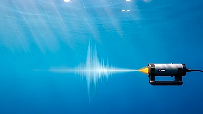
SatLab Geosolutions has unveiled its Spin Sound Velocity Inversion technology, designed to automate the calculation of sound velocity profiles in real-time. This innovation allows for automatic correction
of sound velocity without the need for manual adjustments, addressing complex changes over time and across different survey areas. The technology is particularly beneficial in aligning mismatched multi-beam bathymetry data to meet International Hydrographic Organization (IHO) standards, thereby enhancing data reliability. The system has been tested in over 60 survey regions globally, supporting depths ranging from 0.2 meters to 180 meters, and is aimed at reducing operational costs for survey operations.
Why It's Important?
The introduction of SatLab's automated sound velocity correction technology represents a significant advancement in the field of geospatial surveying. By eliminating the need for manual adjustments, the technology not only increases efficiency but also reduces the potential for human error, leading to more accurate and reliable data. This is crucial for industries that rely on precise geospatial data, such as marine navigation, offshore construction, and environmental monitoring. The ability to meet IHO standards ensures that the data can be used for critical applications, potentially impacting decision-making processes in these sectors. Additionally, the reduction in operational costs can make high-quality surveying more accessible to a broader range of organizations.
What's Next?
As SatLab's technology gains traction, it is likely to see increased adoption across various sectors that require precise geospatial data. The company may continue to refine and expand its technology to cover more complex survey environments and deeper depths. Stakeholders in industries such as marine construction, environmental research, and government agencies may explore partnerships or investments to integrate this technology into their operations. Furthermore, the success of this technology could spur further innovation in automated geospatial solutions, potentially leading to new standards and practices in the industry.