

What's Happening?
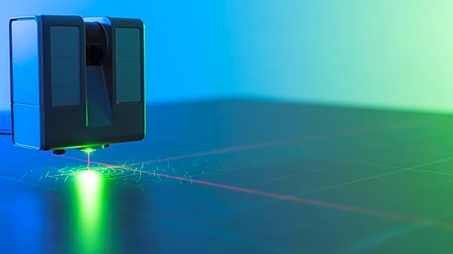
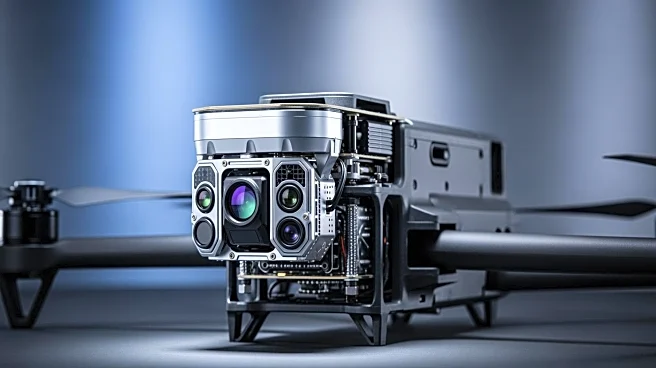
YellowScan has introduced the Venturer, a new LiDAR system unveiled at Geo Week 2026 in Denver, Colorado. This advanced system is designed for missions that require high precision, security, and adaptability. The Venturer is engineered to prioritize data
sovereignty, ensuring that all data remains secure and under the operator's control through local data processing. This feature is crucial for operations in sensitive environments, as it eliminates the need for cloud-based data offloading, thereby reducing security risks. The system is NDAA-compliant, meaning it adheres to specific U.S. government standards for data handling and security. It is compatible with a wide range of unmanned aerial vehicles (UAVs) and features adaptive scanning capabilities for comprehensive data capture. The Venturer also includes dual global shutter cameras for enhanced visual data integration and uses Trimble Applanix's APX-RTX IMU for superior positional accuracy.
Why It's Important?
The introduction of the Venturer LiDAR system is significant for industries that rely on precise geospatial data, such as surveying, mapping, and environmental monitoring. By ensuring data sovereignty and compliance with NDAA standards, YellowScan addresses growing concerns about data security and integrity in sensitive operations. This is particularly relevant for government and defense sectors that require stringent data handling protocols. The system's compatibility with various UAVs and its advanced scanning capabilities make it a versatile tool for professionals seeking reliable and accurate data collection solutions. The Venturer's local data processing feature not only enhances security but also improves operational efficiency by reducing reliance on external data processing services.
What's Next?
As the Venturer LiDAR system gains traction, it is likely to influence the adoption of similar technologies across industries that prioritize data security and precision. YellowScan's focus on local data processing and NDAA compliance may set a new standard for LiDAR systems, encouraging other manufacturers to adopt similar practices. The system's versatility and compatibility with various UAVs could lead to increased use in diverse applications, from infrastructure inspection to natural resource management. Stakeholders in the geospatial and defense sectors may closely monitor the system's performance and integration into existing workflows, potentially leading to further innovations in secure data processing technologies.