What's Happening?
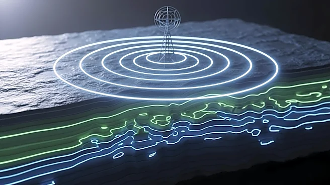
A new study published in Scientific Reports introduces a high-resolution imaging approach that significantly improves the accuracy of subsurface object detection using ground-penetrating radar (GPR). The
method, which combines time-reversal focusing with Multiple Signal Classification (MUSIC) processing, enhances the localization of underground objects by reducing noise and improving image clarity. This technique can be applied to conventional GPR systems without the need for additional hardware or complex setups. The study demonstrates that this approach overcomes traditional challenges in subsurface mapping, offering sharper imaging and better detection accuracy. The research highlights the potential of this method in various fields, including civil engineering, archaeology, and environmental monitoring.
Why It's Important?
The advancement in radar imaging technology is crucial for industries that rely on accurate subsurface mapping. By improving the resolution and accuracy of GPR systems, this method can enhance infrastructure inspection, environmental monitoring, and archaeological exploration. The ability to detect and map subsurface structures more precisely can lead to better decision-making and risk management in these fields. Additionally, the method's compatibility with existing GPR systems makes it accessible and cost-effective, potentially leading to widespread adoption and further innovation in subsurface imaging technologies.
What's Next?
Future research may focus on optimizing the selection of singular values in the subspace decomposition to enhance performance and enable more automated processing. The study's authors have provided open-source code and a graphical user interface to encourage wider adoption and application of the method. This practical design could lead to further advancements in GPR technology and its applications across various industries.