

What's Happening?
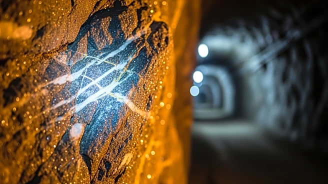
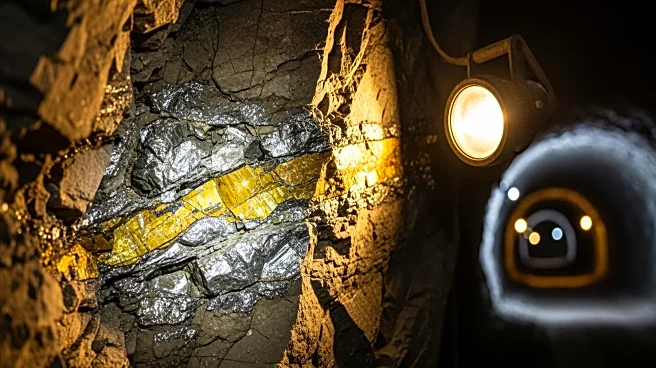
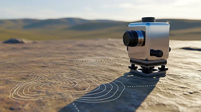
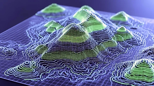
Giant Mining has engaged Unmanned Aerial Services (UAS) to conduct a high-resolution underground LiDAR survey at the Majuba Hill Copper-Silver-Gold Project in Pershing County, Nevada. The survey aims to enhance geological modeling, structural interpretation,
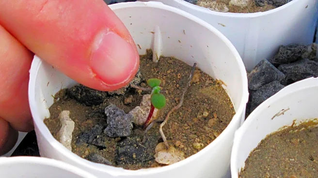
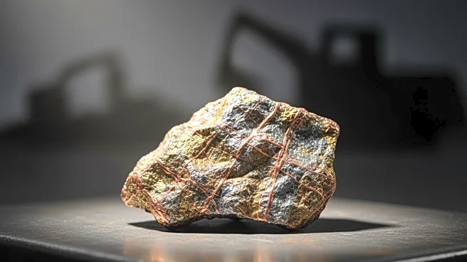
and drill targeting. The Canadian-based UAS team will conduct the survey, with fieldwork expected to be completed by April 2026. The results will be integrated with existing datasets to refine targets for the company's planned drill program, including areas beneath historical workings. Giant Mining controls 100% of the Majuba Hill district and is focused on advancing late-stage copper, silver, and gold projects.
Why It's Important?
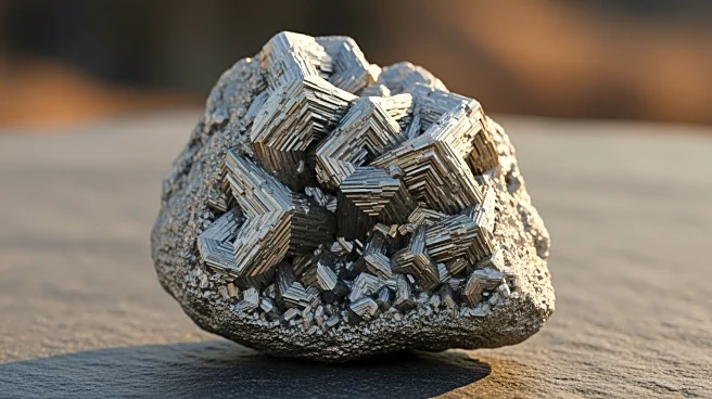
The LiDAR survey represents a significant step in advancing the Majuba Hill Project, potentially leading to more efficient and targeted exploration efforts. By enhancing geological modeling and structural interpretation, Giant Mining can better identify and evaluate mineral resources, which could lead to increased production and profitability. The integration of new data with existing datasets will provide a comprehensive understanding of the project's potential, aiding in strategic decision-making. This advancement could attract further investment and interest in the project, benefiting the local economy and stakeholders involved.
What's Next?
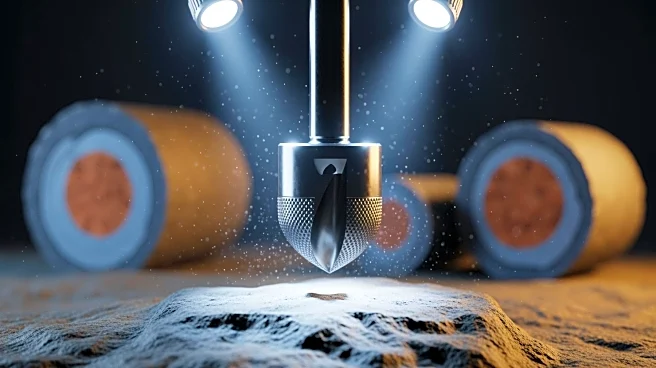
Following the completion of the LiDAR survey, Giant Mining will analyze the data to refine their exploration and drilling strategies. The company plans to conduct up to 10,000 feet of core drilling, focusing on areas identified through the survey. The results will inform future exploration planning and potentially lead to the discovery of new mineral resources. Stakeholders, including investors and local communities, will be closely watching the outcomes of these efforts, as successful exploration could lead to increased economic activity and job creation in the region.