What's Happening?
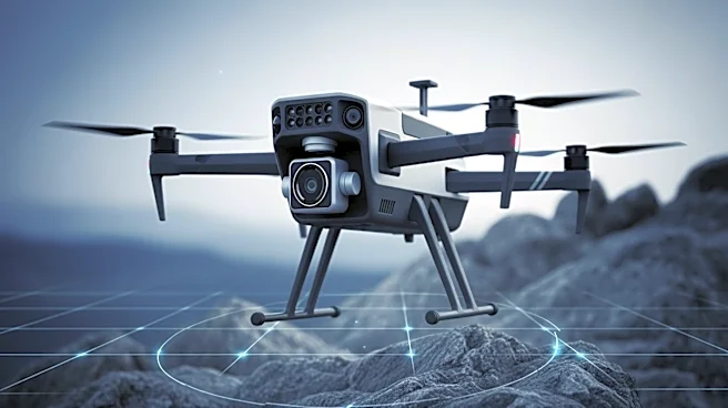
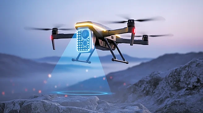
Teledyne FLIR Defense has certified Emesent's Hovermap LiDAR payload for use across its uncrewed aerial systems, ground robots, and radiation detection platforms. Announced at Modern Day Marine 2026, this
certification expands Teledyne FLIR's Third-Party Payload Integration Program. Emesent's 3D mapping technology, which operates without GPS, will be integrated into Teledyne FLIR hardware, addressing operational needs in environments where GPS connectivity is lost. The Hovermap system uses LiDAR-based Simultaneous Localization and Mapping (SLAM) to create real-time 3D models. This integration will enhance mapping capabilities in GPS-denied areas, such as tunnels and urban structures, and provide continuous 3D data for navigation in complex environments.
Why It's Important?
The integration of Emesent's Hovermap into Teledyne FLIR's systems represents a significant advancement in unmanned system capabilities, particularly in challenging environments. This collaboration enhances the ability to conduct operations in GPS-denied areas, which is crucial for military and defense applications. The use of LiDAR technology for real-time mapping and navigation improves situational awareness and operational efficiency. This development also highlights the growing importance of third-party payload integration in expanding the functionality of unmanned systems, offering new opportunities for innovation and collaboration in the defense sector.
What's Next?
Teledyne FLIR and Emesent plan to continue developing autonomous navigation and enhanced sensor integration for CBRN detection applications. This partnership is expected to lead to further advancements in unmanned system capabilities, supporting a variety of mission requirements. The ongoing collaboration may also result in new technical developments that enhance future capabilities. As the demand for advanced unmanned systems grows, other companies in the defense sector may explore similar partnerships to expand their technological offerings.