


What's Happening?
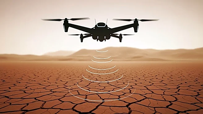
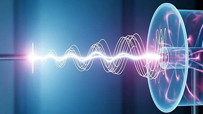
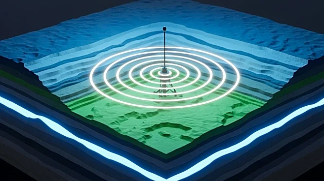
A new study published in Scientific Reports introduces a high-resolution imaging approach that significantly improves the detection and localization of underground objects. The method, known as High-Resolution Time-Reversal (HRTR), integrates time-reversal
signal processing with the Multiple Signal Classification (MUSIC) algorithm. This approach enhances the accuracy of ground-penetrating radar (GPR) systems, which are crucial for applications in civil engineering, archaeology, and environmental monitoring. The HRTR technique processes conventional GPR data directly, eliminating the need for complex hardware setups and antenna arrays. It achieves sharper imaging and better separation of closely spaced objects, even in challenging soil conditions. The study demonstrates the method's effectiveness through simulations and field experiments, showing its potential to improve infrastructure inspection, environmental monitoring, and humanitarian demining.
Why It's Important?
The development of the HRTR method represents a significant advancement in subsurface imaging technology. By improving the resolution and accuracy of GPR systems, this technique can enhance the detection of buried objects, such as landmines, which is critical for humanitarian efforts. Additionally, the ability to accurately map subsurface structures can benefit civil engineering projects and archaeological explorations. The method's compatibility with existing GPR systems and its practical applicability make it a valuable tool for various industries. The open-source nature of the HRTR technique encourages further innovation and adoption, potentially leading to more efficient and cost-effective solutions for subsurface exploration.
What's Next?
Future research may focus on optimizing the selection of singular values in the subspace decomposition process to further enhance the HRTR method's performance. This could lead to more automated processing and wider adoption in real-world applications. As the technique gains traction, it may prompt updates to industry standards and practices in subsurface imaging. Stakeholders in civil engineering, archaeology, and environmental monitoring are likely to explore the integration of HRTR into their operations, potentially leading to new collaborations and advancements in these fields.