

What's Happening?
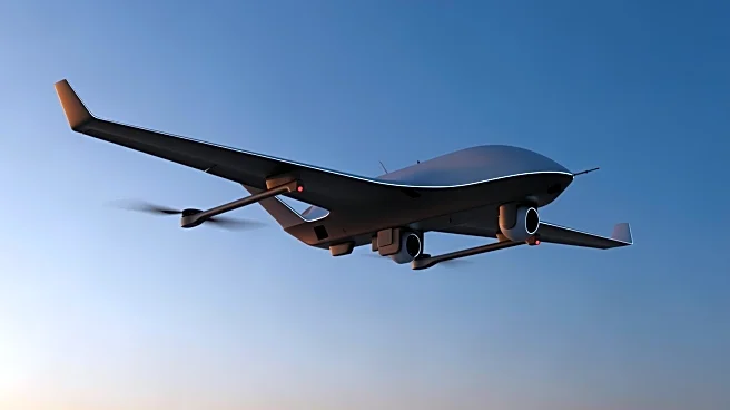
Agilica, a company originating from Belgium's Royal Military Academy, has developed an innovative local positioning system for unmanned aerial vehicles (UAVs). This system, known as the Agilica Geolocation (AGL), utilizes ultra-wideband (UWB) radio technology to enable precise autonomous drone maneuvers even in dynamic or GPS-denied environments. The AGL system employs multiple fixed reference points, or anchor nodes, to create a local coordinate system, allowing for highly accurate real-time positioning. This technology is particularly resilient against RF interference, multipath issues, and jamming, providing centimeter-level accuracy. The system is designed to be scalable, with a minimum of six anchors required for reliable positioning, and can
be managed via a web-based interface.
Why It's Important?
The development of the Agilica Geolocation system represents a significant advancement in drone technology, particularly for mission-critical operations where precision and reliability are paramount. This system's ability to function in GPS-denied environments expands the operational capabilities of drones, making them more versatile in various sectors, including defense, maritime, and robotics. The resilience of the UWB technology against interference and jamming enhances the security and effectiveness of drone operations, which is crucial for applications in national security and infrastructure monitoring. As drones become increasingly integral to modern warfare and surveillance, technologies like AGL could play a pivotal role in shaping future autonomous systems.