

What's Happening?
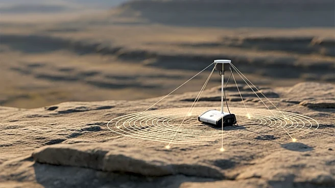
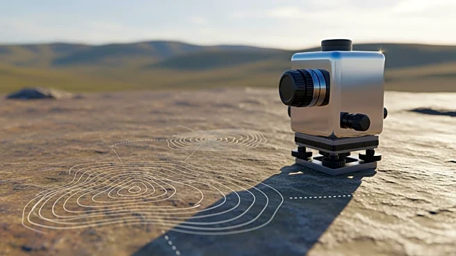
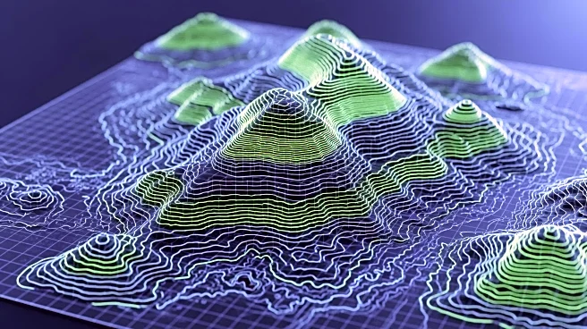
Aureka is conducting a drone airborne magnetic geophysical survey at its Irvine Project in Victoria to better define subsurface geological features and establish the structural architecture. This survey aims to optimize the deployment of ongoing diamond
drilling by identifying potential drill targets associated with magnetic features. The initiative follows nearly 7,000 meters of diamond drilling completed in 2025 and is part of Aureka's strategy to advance its gold exploration efforts in the region. The survey is expected to improve the granularity of the current dataset and refine the structural understanding of the project area.
Why It's Important?
The use of drone technology in geophysical surveys represents a significant advancement in mineral exploration, offering a more efficient and precise method for identifying potential resources. By enhancing the understanding of the geological structure, Aureka can better target its drilling efforts, potentially leading to the discovery of new gold deposits. This approach not only increases the likelihood of successful exploration but also reduces environmental impact by minimizing unnecessary drilling. For Aureka, successful exploration at the Irvine Project could enhance its portfolio and attract further investment, contributing to the growth of the mining sector in Victoria.
What's Next?
As the geophysical survey progresses, Aureka plans to integrate the new data with existing geological information to refine its exploration strategy. The company may also consider expanding its survey efforts to cover additional areas within the Irvine Project. The results of these efforts could lead to further drilling campaigns and potentially the development of new mining operations. Aureka's continued focus on technological innovation and strategic exploration could position it as a leader in the Australian gold mining industry.