


What's Happening?
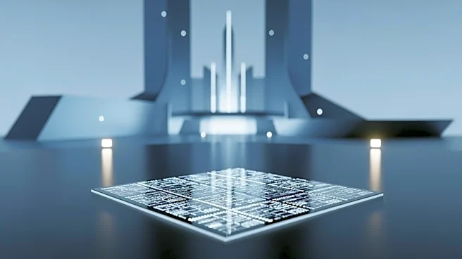
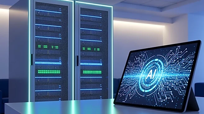
Tilebox has launched a new infrastructure for verifiable AI workflows, aimed at enhancing the use of Earth observation data. This development allows teams to utilize AI agents to discover data, execute workflows, and inspect the logic behind each result.
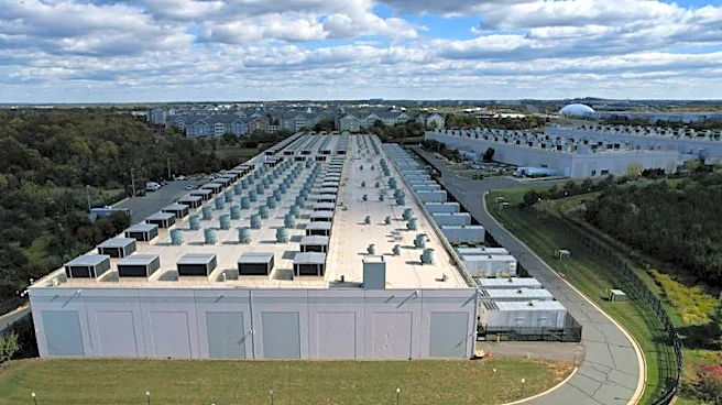
The initiative is designed to move AI from experimental to operational use in industries such as defense, infrastructure, climate, insurance, and energy. Tilebox's tools, including a command-line interface and Model Context Protocol server, enable controlled data discovery and workflow execution, ensuring transparency and reproducibility. The company has also released a demonstration site that tracks U.S. data center expansion using satellite imagery and public project data, showcasing the capabilities of their new workflow layer.
Why It's Important?
The introduction of verifiable AI workflows by Tilebox is a significant advancement for industries relying on geospatial data. As AI becomes more integrated into operational processes, the need for verifiable and transparent workflows is critical. This development addresses the demand for trustworthy AI solutions that can be inspected and reproduced, enhancing decision-making in sectors like defense and climate monitoring. By providing a controlled environment for data analysis, Tilebox is setting a new standard for AI applications in geospatial contexts. This could lead to broader adoption of AI in operational settings, driving innovation and efficiency across various industries.
What's Next?
With the launch of these new capabilities, Tilebox is likely to attract interest from companies seeking reliable AI solutions for geospatial data analysis. The availability of these tools through Tilebox Labs allows builders to experiment and apply the workflow pattern to their own use cases. As more organizations adopt these workflows, there may be increased collaboration between industries and AI developers to further refine and expand the technology. The demonstration of tracking data center expansion could lead to similar applications in other areas, such as urban planning and environmental monitoring.