


What's Happening?
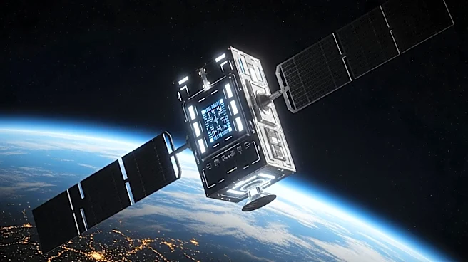
CATALYST, a brand under the Canadian remote sensing software firm PCI Geomatics, has introduced a new product called UrbanSAR. This technology is designed to enhance the safety of city skylines by detecting millimeter-scale shifts in buildings. UrbanSAR utilizes
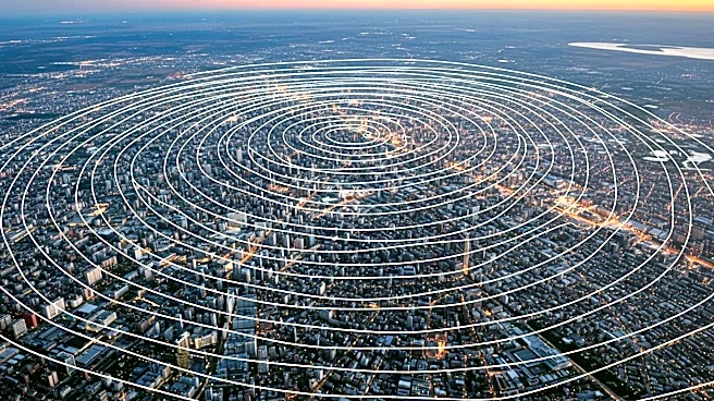
interferometric synthetic aperture radar (SAR) data from multiple satellites to identify small changes in structures over time. This capability is particularly significant for monitoring the upper floors of new constructions, which are often beyond the reach of traditional ground-based monitoring systems. According to PCI Geomatics CEO June McAlarey, this technology can provide construction firms, insurers, and city authorities with critical insights into structural movements and potential risks, thereby improving urban safety and planning.
Why It's Important?
The introduction of UrbanSAR is significant for urban development and safety. As cities continue to grow and new buildings are constructed, the ability to monitor structural integrity from space offers a new layer of safety and risk management. This technology can help construction companies identify pre-existing movements in structures before breaking ground, allowing for more informed decision-making. Insurers can better assess risks, and city authorities can monitor the impacts of urban densification. The broader implications include improved urban planning and disaster preparedness, as space-based monitoring can also track environmental factors such as temperature, air quality, and severe weather conditions. This advancement represents a step forward in integrating space technology into urban management.
What's Next?
The deployment of UrbanSAR could lead to increased collaboration between space technology firms and urban planners. As the technology becomes more widely adopted, it may influence building codes and construction practices, encouraging more proactive risk management strategies. Additionally, the data collected by UrbanSAR could be used to enhance predictive models for urban development and environmental impact assessments. Stakeholders such as city planners, construction firms, and insurers may need to adapt to this new technology by integrating it into their existing workflows and decision-making processes.
Beyond the Headlines
The use of space-based monitoring for urban safety raises questions about data privacy and the ethical use of surveillance technology. As more cities adopt these technologies, there will be a need to establish clear guidelines and regulations to protect individual privacy while maximizing public safety benefits. Furthermore, the integration of such advanced technologies into urban planning could widen the gap between cities with access to these resources and those without, potentially leading to disparities in urban safety and development.