
What's Happening?
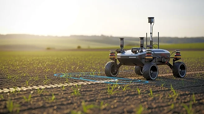
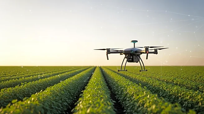
TerraClear has introduced the Terrascout, an autonomous field scout designed to assist farmers in identifying weeds and rocks with minimal labor. The Terrascout is capable of generating weed maps for over 1,000 acres per day and can identify rocks that
are 8 inches or larger. This technology represents an evolution from TerraClear's previous drone-based mapping, offering real-time data processing capabilities. The Terrascout is equipped with a diesel engine and mounted cameras, providing high-resolution imagery up to 1 millimeter ground sampling distance. It operates with three levels of autonomy, including GPS and object detection, and is capable of covering approximately 100 acres per hour.
Why It's Important?
The introduction of the Terrascout is significant for the agricultural industry as it addresses labor shortages and enhances precision in farming operations. By providing real-time data and high-resolution imagery, farmers can make more informed decisions, potentially increasing crop yields and reducing costs associated with manual labor. The technology also supports sustainable farming practices by enabling precise application of resources, thereby minimizing waste. This advancement aligns with the growing trend of integrating technology into agriculture to improve efficiency and productivity.
What's Next?
As TerraClear continues to develop and deploy the Terrascout, it is likely that more farmers will adopt this technology to enhance their operations. The company may also explore further advancements in autonomous farming equipment, potentially expanding the capabilities of the Terrascout. Stakeholders in the agricultural sector, including policymakers and industry leaders, may need to consider the implications of increased automation on labor markets and regulatory frameworks.