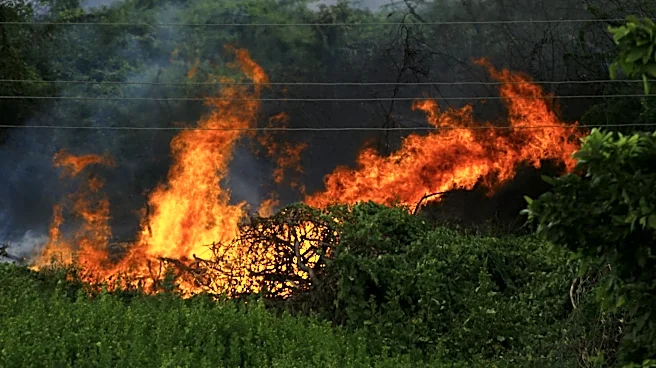
On May 12, 1997, Miami, Florida experienced a rare weather event when an F1 tornado touched down, causing significant damage and injuries. Understanding the meteorological conditions that led to this tornado provides
insight into how such phenomena occur. This article delves into the atmospheric factors and weather patterns that contributed to the formation of the 1997 Miami tornado.
Atmospheric Instability and Weather Fronts
The tornado formed under conditions of atmospheric instability, which is a key factor in tornado development. On the day of the tornado, upper air observations highlighted CAPE values reaching up to 1418 J/kg, indicating a highly unstable atmosphere conducive to severe weather. Additionally, a weather front was forecast to move into central Florida, further contributing to the unstable conditions.
A low-pressure system was also predicted to move northeast into Florida’s Big Bend region, which can enhance the likelihood of tornado formation. The presence of a 90-knot jet stream across southern Florida added to the dynamic atmospheric conditions, providing the necessary wind shear for tornado development. At the 250 mb level, winds were recorded at 81 knots, further indicating the presence of strong upper-level winds.
Wind Shear and Helicity
Wind shear, the change in wind speed and direction with height, is crucial for tornado formation. On May 12, wind shear had weakened to a 20-15 knot breeze between 2,000 and 10,000 feet above the surface. However, as the day progressed, speed shear increased, enhancing the potential for tornado development.
Helicity values, which measure the potential for rotating updrafts, were found to be 131 m2/s2. This indicates a moderate potential for tornado formation, as helicity contributes to the development of rotating thunderstorms, which can spawn tornadoes. The combination of wind shear and helicity on that day created favorable conditions for the tornado that struck Miami.
Tornado Watches and Warnings
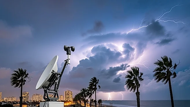
In response to the evolving weather conditions, the Storm Prediction Center issued a tornado watch at 11:29 A.M. EDT, effective until 5:00 P.M. EDT. This watch highlighted the potential for supercell tornadoes due to the moist and unstable atmosphere. As the shear profile strengthened, the likelihood of tornado formation increased.
At 1:55 P.M. EDT, a tornado warning was issued by NWS Miami after a funnel cloud was reported and radar indicated rotation. This warning was crucial in alerting residents to the imminent threat, although the tornado still resulted in injuries and damage. Understanding the meteorological conditions that led to the 1997 Miami tornado helps in predicting and preparing for future tornado events in similar environments.