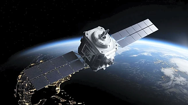


NOAA-9, an American weather satellite, marked a significant advancement in meteorological technology when it was launched on December 12, 1984. Operated by the National Oceanic and Atmospheric Administration (NOAA), NOAA-9 was part of the Advanced TIROS-N series, designed to provide detailed weather data and environmental monitoring. This satellite not only achieved its planned mission duration but exceeded expectations by operating for over 13 years,
offering invaluable insights into Earth's atmosphere and surface conditions.
Launch and Mission Objectives
NOAA-9 was launched from Vandenberg Air Force Base in California using an Atlas E rocket. The satellite was initially known as NOAA-F before its launch. Its primary mission was to serve the National Environmental Satellite Data and Information Service (NESDIS) by providing a stable platform for advanced instruments. These instruments were tasked with measuring various atmospheric conditions, including cloud cover and the near-space environment.
The satellite's design was based on the DMSP Block 5D satellite bus, developed for the U.S. Air Force. This design allowed NOAA-9 to maintain an Earth-pointing accuracy of better than ±0.1° with a motion rate of less than 0.035 degrees per second. The satellite's launch mass was 1,420 kg, with a dry mass of 740 kg, making it a robust and reliable tool for weather observation.
Instrumentation and Data Collection
NOAA-9 was equipped with several advanced instruments, including the Advanced Very High Resolution Radiometer (AVHRR/2) and the TIROS Operational Vertical Sounder (TOVS) suite. The AVHRR/2 provided global cloud cover observations and sea-surface temperature data, while the TOVS suite offered atmospheric temperature and water profiling. These instruments were crucial for weather analysis and forecasting.
Additionally, NOAA-9 carried the Earth Radiation Budget Experiment (ERBE) and the Solar Backscattered Ultraviolet Radiometer (SBUV/2), which contributed to climate prediction and ozone mapping. The satellite also supported the Search and Rescue Satellite-Aided Tracking System (SARSAT), enhancing emergency response capabilities.
Legacy and Impact
NOAA-9's mission extended well beyond its planned two-year duration, operating until February 13, 1998. Over the years, the satellite experienced some instrument failures, such as the ERBE scanner malfunction in 1987 and the degradation of HIRS long-wave channels. Despite these challenges, NOAA-9 continued to provide valuable data for weather forecasting and environmental monitoring.
The satellite's contributions to atmospheric science and emergency response systems have left a lasting legacy. NOAA-9's success paved the way for future advancements in satellite technology, influencing subsequent missions in the TIROS-N/NOAA series. Its extended operation demonstrated the durability and effectiveness of satellite-based weather observation, solidifying its place in the history of meteorological satellites.