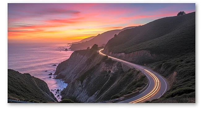
The Pacific Coast Highway, commonly known as PCH, is a renowned scenic route in California, stretching along the Pacific Ocean. It is part of California State Route 1 and connects various key locations from San Diego to the north, ending near Santa Cruz. This highway is not only a vital transportation route but also a significant cultural and historical landmark, offering breathtaking views and a rich history.
Origins
The origins of the Pacific Coast Highway date back to the early 20th century. Initially, the route was part of a larger network of roads designed to connect the major cities along the Pacific coast. The idea was to create a continuous stretch of road that would facilitate travel and commerce between these urban centers.
Key Phases
Throughout its development, the Pacific Coast Highway underwent several key phases. In 1959, the California legislature officially designated the segment in Southern California between Interstate 5 in Dana Point and US 101 near Oxnard as the Pacific Coast Highway. This designation marked a significant milestone in the highway's history, solidifying its status as a major thoroughfare in the region.
Turning Points
One of the major turning points in the history of the Pacific Coast Highway was its designation as a Blue Star Memorial Highway. This designation was intended to honor those in the United States armed forces. Although the California Garden Clubs sponsored this designation, markers have yet to be erected along SR 1.
Present Status in Source
Today, the Pacific Coast Highway remains a vital part of California's transportation infrastructure. It continues to serve as a major route for both local and tourist traffic, offering stunning views of the Pacific Ocean and access to numerous attractions along the coast.