


Moving Beyond the City Forecast
Traditional weather apps are great for telling you the forecast in a specific city. But a long-distance drive isn’t a single point on a map; it’s a moving line through dozens of different microclimates. That’s where their utility falls apart. A forecast for a destination
300 miles away doesn’t tell you anything about the severe thunderstorm cell you might intersect with in an hour, the sudden fog bank in a valley, or the patch of black ice on a mountain pass. Predictive AI-powered apps approach this problem differently. Instead of offering static, location-based data, they use machine learning models to create dynamic forecasts tailored to your specific journey. By analyzing vast datasets—including real-time satellite and radar imagery, atmospheric pressure, wind patterns, and elevation—they can generate a weather timeline for your entire route, updating continuously as conditions change.
The Power of Route-Based Forecasting
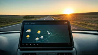
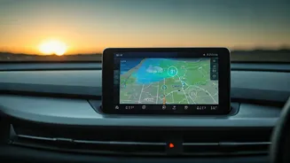
The single biggest advantage of these advanced apps is the 'road trip' or 'drive' feature. Apps like The Weather Channel or AccuWeather allow you to input your starting point and destination, just like a GPS. But instead of just showing you the route, they overlay a weather forecast for every segment of your trip, timed to your estimated arrival at that point.
This means you can see that while it’s sunny now, you’re projected to hit a band of heavy rain near a major interchange in two hours. Or you’ll see that the high winds don’t kick in until after you’ve cleared a notoriously treacherous bridge. This allows for smarter decisions: Should you leave 30 minutes earlier to beat the storm? Should you plan for a coffee break to let the worst of it pass? It turns you from a passive victim of the weather into an active, informed planner.
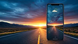
Hyper-Local and Minute-by-Minute Predictions
Another revolutionary feature, originally popularized by Dark Sky and now integrated into Apple Weather and other services like AccuWeather’s MinuteCast, is hyper-local precipitation forecasting. These tools can tell you with startling accuracy that light rain will begin at your precise location in, for example, 12 minutes and last for 45 minutes.
For a driver, this is invaluable. It’s the difference between being caught off guard by a sudden, vision-impairing downpour on the interstate and knowing you have ten minutes to pull off at the next exit. This level of granularity helps manage the most common and disruptive weather events on the road, reducing stress and improving safety by preventing sudden changes in driving conditions.
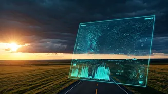
Smarter Radar and Proactive Alerts
Looking at a standard weather radar can feel like reading tea leaves. You can see where the storm is now, but guessing its exact path and intensity is difficult. AI-driven predictive radar, a feature in apps like MyRadar and CARROT Weather, helps solve this. These systems analyze a storm’s movement and use algorithms to project its future track, showing you an animated forecast of where the precipitation is heading over the next hour or so.
This allows a driver to make a crucial judgment call: is this a storm I can wait out, or is it tracking directly along my route for the next 50 miles? Furthermore, the best apps combine this with proactive alerts. They won’t just tell you a severe thunderstorm watch is in effect for a county you’re in; they’ll warn you that your *specific route* will take you through an area with a high probability of dangerous crosswinds or hail in the next hour, giving you time to consider a detour.