


When Your Blue Dot Vanishes
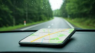
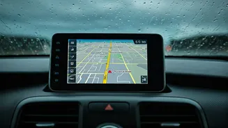
We've become incredibly reliant on the seamless magic of GPS navigation. That little blue dot, confidently gliding across a digital map, feels like a given. But it’s not. Most popular mapping apps, like Google Maps and Waze, are constantly streaming data—pulling
down map tiles, traffic information, and points of interest from the cloud. When that connection to the cellular network is severed, the map can no longer update. If you stray from the pre-loaded route, you're effectively flying blind. This isn't just a problem in remote wilderness. It happens in the sprawling dead zones of rural America, during network congestion at major festivals, or even in the concrete canyons of a dense city where satellite signals struggle to penetrate. The “cloudy detour” isn’t a metaphor; it’s a literal description of what happens when your connection to the digital cloud is interrupted, leaving you without your primary tool for navigation.
Your Digital Pocket Atlas
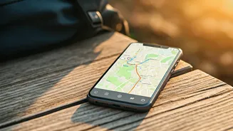
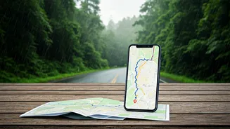
The solution is beautifully simple and surprisingly underused: offline maps. Think of it as a modern version of the dog-eared paper atlas you used to keep in your glove compartment, except it lives on the device you’re already carrying. By downloading a map area to your phone ahead of time, you store all the necessary geographic data—roads, town names, and key landmarks—directly on your device. When your phone loses its data connection, the app seamlessly switches to the stored map. Your GPS chip, which communicates with satellites and doesn't rely on cell service, can still pinpoint your location. The blue dot keeps moving, you can still search for streets within the downloaded area, and you can still route yourself from point A to point B. It’s a digital safety net that turns a potential crisis into a minor inconvenience.
How to Download Your World
Preparing for a signal-free journey takes less than five minutes. The process is straightforward on the most common platforms. On Google Maps, simply search for a city, state, or region you’ll be visiting. Tap the name at the bottom of the screen, then find the “Download” button (it’s often in the three-dot menu). You can then pinch and zoom to select the exact rectangular area you want to save. The app even tells you how much storage space it will require. On Apple Maps, the process is similar. Search for your destination, tap the location, and look for the Download option. Both services allow you to save multiple regions, so you can easily cover an entire road-trip corridor. It’s a good habit to download maps for your destination and any potential layover cities before you even leave home, especially for international travel where data roaming charges can be exorbitant.
Beyond the Interstate
While Google and Apple Maps are perfect for road navigation, their offline capabilities can be limited for more specific activities. If your detour takes you off the pavement and onto a hiking trail, you’ll want a specialized tool. Apps like AllTrails, Gaia GPS, and onX are designed for the outdoors. Their key feature is the ability to download detailed topographic maps that show elevation contours, water sources, and, most importantly, trail networks. Many national parks have notoriously spotty or non-existent cell service just a few hundred feet from the visitor center. Relying on a standard navigation app in the backcountry is a recipe for getting lost. For adventurers, subscribing to one of these services and downloading trail maps is as essential as packing extra water or a first-aid kit. It provides peace of mind and a reliable way to find your way back, even when you're miles from the nearest cell tower.