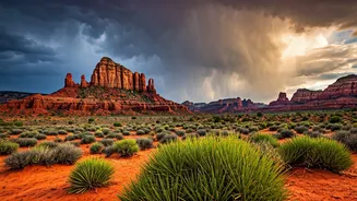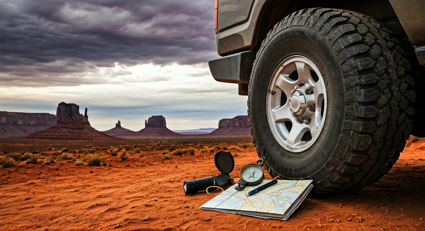


The Treachery of a Dry Wash
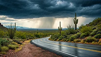
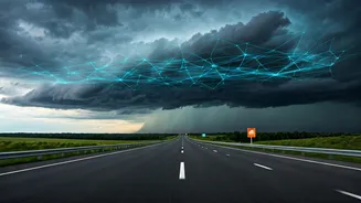
Anyone who has driven through Arizona, New Mexico, or Utah in July or August has seen the signs: “Do Not Enter When Flooded.” They’re posted near dips in the road that cross dusty, rock-strewn gullies known as washes or arroyos. For most of the year,
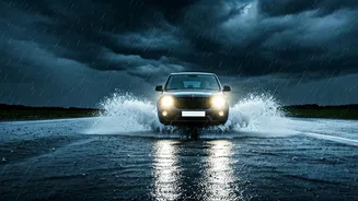
they’re bone dry. But during the North American Monsoon, they become conduits for terrifying flash floods. A storm dozens of miles away in the mountains can send a wall of water, mud, and debris rushing downstream with little to no local warning. A car caught in one of these events has almost no chance. For decades, the danger has been a terrifying lottery. A family heading to the Grand Canyon for Labor Day weekend might see clear skies overhead, completely unaware of the deluge barreling toward a low-lying crossing on their route. Traditional forecasting could predict regional rainfall, but it struggled to pinpoint exactly which wash would flood and when. This gap in information left highway patrol and Departments of Transportation (DOTs) in a reactive stance, often closing roads only after the danger had become obvious—and sometimes, too late.
The Limits of Traditional Forecasting
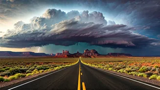
For years, weather prediction has relied on numerical weather prediction (NWP) models. Think of these as massive, physics-based simulations of the atmosphere. They are incredibly complex, require supercomputers, and have gotten steadily better over time. However, they have an Achilles' heel: time and resolution. Running these complex simulations takes hours, meaning the forecast you get is already based on slightly old data. For slow-moving, large-scale systems like hurricanes or winter snowstorms, this is often good enough. But for the pop-up, intensely localized thunderstorms that trigger monsoonal flash floods, it’s like trying to photograph a hummingbird with a slow-shutter camera. By the time the picture is developed, the bird is long gone. These traditional models can tell you that conditions are ripe for thunderstorms in a 50-square-mile area, but they can’t reliably tell you that a specific canyon is going to get 3 inches of rain in 20 minutes, triggering a flood that will hit a state highway precisely 45 minutes later. That level of granular, immediate prediction was largely out of reach.
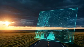
Enter the AI Meteorologist
This is where predictive AI changes everything. Instead of trying to simulate atmospheric physics from scratch, AI models like Google’s GraphCast or NVIDIA’s FourCastNet work differently. They’ve been trained on decades of historical weather data, essentially learning to recognize patterns the same way a grandmaster learns chess by studying thousands of past games. By analyzing countless cause-and-effect relationships between atmospheric conditions, these AI systems can make startlingly accurate predictions in minutes, not hours. They don’t get bogged down in the complex physics; they identify a set of conditions that, in the past, has almost always led to a specific outcome. This allows them to generate high-resolution forecasts for 10 days out at a fraction of the time and computational cost. This speed and accuracy are revolutionary for flash flood warnings. The AI can flag a developing storm cell, predict its intense rainfall, and forecast the resulting runoff with a lead time that was previously unimaginable.
From Code to Concrete Action
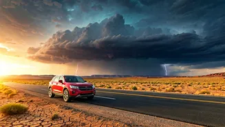
So how does a better forecast actually stop a car from being swept away? The answer lies in turning that prediction into action. State agencies like the Arizona Department of Transportation (ADOT) are increasingly integrating this advanced, hyper-local weather data into their traffic operation centers. Instead of a vague “flash flood watch,” an AI-driven forecast can trigger a highly specific alert: “High probability of life-threatening flash flood at Mile Marker 112 on US-93 in the next 60-90 minutes.” This allows officials to make proactive decisions. They can dispatch highway patrol to block off vulnerable sections of road *before* the water arrives. They can update digital highway signs miles in advance to reroute holiday traffic. They can pre-position emergency crews and equipment. For the driver, this means the first warning they get isn’t a torrent of muddy water, but a flashing sign telling them to take a detour. The AI isn't literally stopping the rain, but it’s providing the critical window of time needed for authorities—and drivers—to get out of harm’s way, effectively helping to prevent a potential disaster.