


Beyond the Basic Weather App
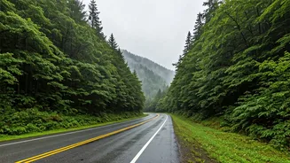
Not long ago, planning a trip during a region’s rainy season felt like a gamble. You’d check a generic forecast, see a line of thunderstorm icons, and either cancel your plans or resign yourself to a week indoors. That’s no longer the case. The modern
monsoon traveler has moved far beyond the default weather app on their phone. They’re engaging in a surprisingly sophisticated level of data analysis, less like a tourist and more like a field researcher. It’s not just about knowing if it will rain, but precisely when, for how long, and with what intensity. This granular understanding allows them to plan their days in hours-long blocks, scheduling a hike between downpours or a museum visit during the heaviest deluge, effectively reclaiming their vacation from the whims of the weather.
The Rise of the Weather Geek
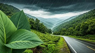
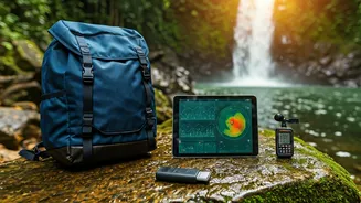
The toolkit for this new breed of traveler is extensive and powerful. Apps like Windy and Ventusky, once the domain of sailors and pilots, are now common on travelers' phones. These platforms don't just give a simple temperature; they provide detailed visual maps of wind patterns, cloud cover, and precipitation fronts moving in real-time. Instead of a static icon, users see a dynamic system. Another key tool is the hyperlocal, minute-by-minute precipitation forecast, a feature popularized by Dark Sky and now integrated into services like Apple Weather and Carrot Weather. For a traveler in a place like Thailand or Costa Rica, this is a game-changer. An alert that says “Heavy rain starting in 15 minutes” provides just enough time to find a café, enjoy a coffee while the storm passes, and then continue on in the freshly washed, vibrant landscape.
Harnessing the Crowd's Wisdom
Technology isn’t the only data source. Savvy travelers are blending hard data with soft, human intelligence. Before and during their trips, they dive into online communities like Reddit’s r/travel and r/solotravel, or hyper-specific Facebook groups for expats and tourists in cities like Chiang Mai or Medellín. Here, they find on-the-ground reports that no app can provide. Is a key road washed out? Is that popular waterfall trail now a treacherous mudslide? These forums offer real-time, qualitative data that complements the quantitative information from weather models. Someone might post, “The forecast looked bad, but it’s only been raining for an hour in the late afternoon. Mornings have been gorgeous!” This kind of anecdotal evidence is invaluable for cutting through the noise of a scary-looking weekly forecast.
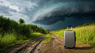
From the Southwest to Southeast Asia
This trend isn't limited to exotic overseas destinations. In the American Southwest, travelers are using the same data-driven tactics to navigate the summer monsoon season. Hikers in Arizona and New Mexico consult radar maps to avoid dangerous flash floods in slot canyons, planning their excursions for the typically clear mornings. The goal is to witness the dramatic, cloud-filled skies and smell the desert rain without getting caught in its path. Similarly, travelers heading to Southeast Asia use historical climate data to micro-target their destinations. Instead of writing off all of Thailand in June, they might learn that certain islands in the Gulf of Thailand, like Koh Samui, experience a different weather pattern and are often drier while the Andaman coast is getting drenched. This macro-level analysis—choosing a specific microclimate—is the ultimate expression of the traveler-as-analyst.