


The Great Mountain Squeeze
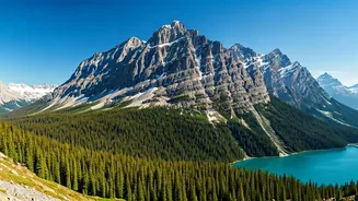
The most powerful way mountains manipulate weather is through a process called orographic lift. It sounds complicated, but the idea is simple. Think of a mountain range as a giant wall. When moist, warm air—say, rolling in from the Pacific Ocean—hits
this wall, it has nowhere to go but up. As this massive volume of air is forced to a higher altitude, it expands and cools down dramatically. It’s the same principle as when a can of compressed air gets cold as you spray it. This cooling is the crucial first step. Colder air can’t hold as much moisture as warm air. So as the air parcel rises up the windward slope of the mountain, it quickly reaches its dew point—the temperature at which the water vapor inside it has to condense into tiny water droplets, forming clouds. Keep forcing it higher, and those clouds get thicker and heavier until they release their moisture.
Welcome to the Rain Shadow
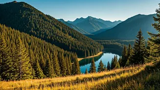
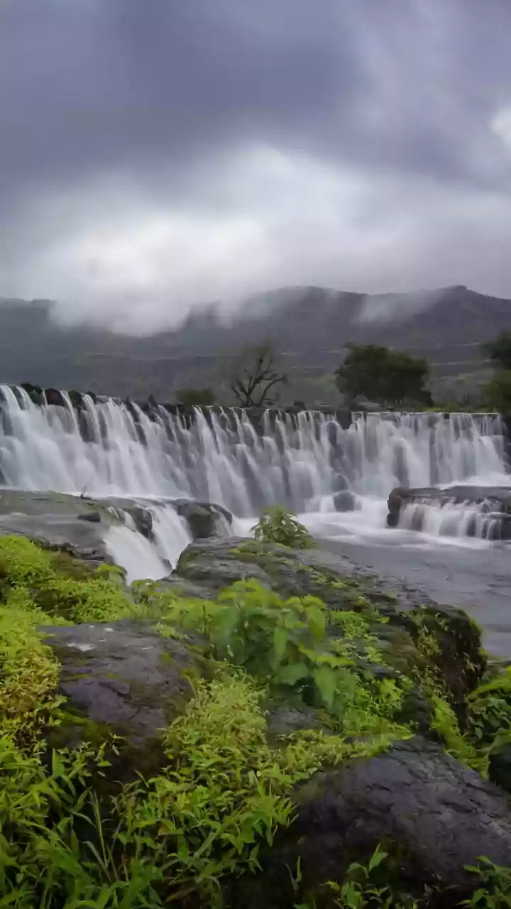
The result of orographic lift is often intense precipitation on one side of the mountain range. This is why the western slopes of the Sierra Nevada in California and the Cascades in Washington and Oregon are so lush and green. They are constantly getting drenched by weather systems moving in from the ocean. But what happens after the air crests the peak? By this point, it has dumped most of its moisture. Now, this much drier, lighter air begins to descend on the other side of the mountain—the leeward side. As it sinks, it gets compressed by the higher atmospheric pressure at lower altitudes, causing it to warm up rapidly. This warm, dry air is the opposite of what’s needed to make clouds and rain. Instead, it sucks up any available moisture, creating arid or semi-arid conditions. This dry region on the downwind side of a mountain range is known as a “rain shadow.” It’s the reason the deserts of Nevada and eastern Oregon exist just a few hundred miles from the soggy Pacific coast.
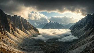
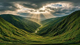
The Upside-Down Weather
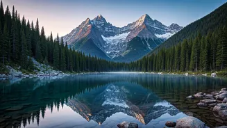
The rain shadow effect explains why one side of a mountain is sunny while the other is rainy. But what about when the peak is sunny and the valley directly below it is trapped in gloom? This different, but equally common, phenomenon is called a temperature inversion. Normally, air gets colder as you go up in elevation. But under certain conditions, usually on calm, clear nights, the ground radiates its heat away and cools the layer of air closest to it. This dense, cold air then pools in valleys and low-lying areas. A warmer, lighter layer of air sits on top of it like a lid. The boundary between them traps everything underneath—fog, mist, and often, pollution. From within the valley, the day is gray and damp. But if you ascend the mountain, you can literally climb up through the cold, foggy layer and emerge into the warm, sunny air above the inversion. This is a frequent winter occurrence in places like Salt Lake City, Denver, and California’s Central Valley.
More Than Just Scenery
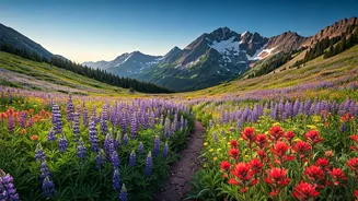
These phenomena show that mountains are not just passive, scenic backdrops; they are active, powerful weather-making machines. They dictate where forests grow and deserts form, where ski resorts thrive on feet of snow, and where farmers rely on irrigation in a sun-drenched valley. The dramatic difference between the wet side of the Olympic Mountains in Washington and the dry Sequim (pronounced “Skwim”) just 40 miles away in its rain shadow is a perfect example. Understanding these dynamics changes how you see the landscape. A foggy morning in a mountain town isn't just bad weather; it's a sign of a potential inversion. A long, rainy drive up a pass isn't a fluke; it's the mountain squeezing moisture from the sky before you can enjoy the sunny, dry conditions on the other side.