


The Emerald Illusion
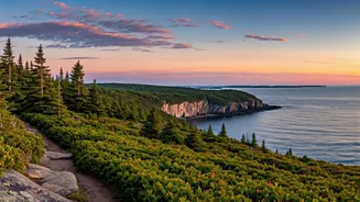
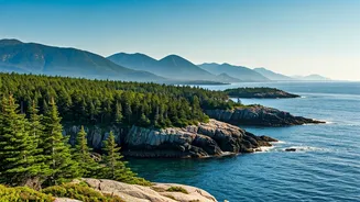
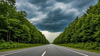
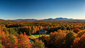
Driving up I-95, flying into Boston’s Logan, or riding an Amtrak train out of Washington, D.C., the view is stunning. The foliage is a deep, saturated green, a level of vibrancy that feels more like Ireland than New England or the Mid-Atlantic. Hills
and forests that are usually a faded olive by late summer have retained a springtime intensity, painting a beautiful, if slightly uncanny, picture. It’s not your imagination. The Northeast has been on the receiving end of a historically wet season. Multiple states, from Pennsylvania to Vermont, have seen record or near-record rainfall totals. This deluge has super-charged the region’s flora, turning every highway median, backyard, and state park into a lush, verdant panorama. For a moment, looking out the window, you could almost forget you’re an hour late.
The Anatomy of a Delay
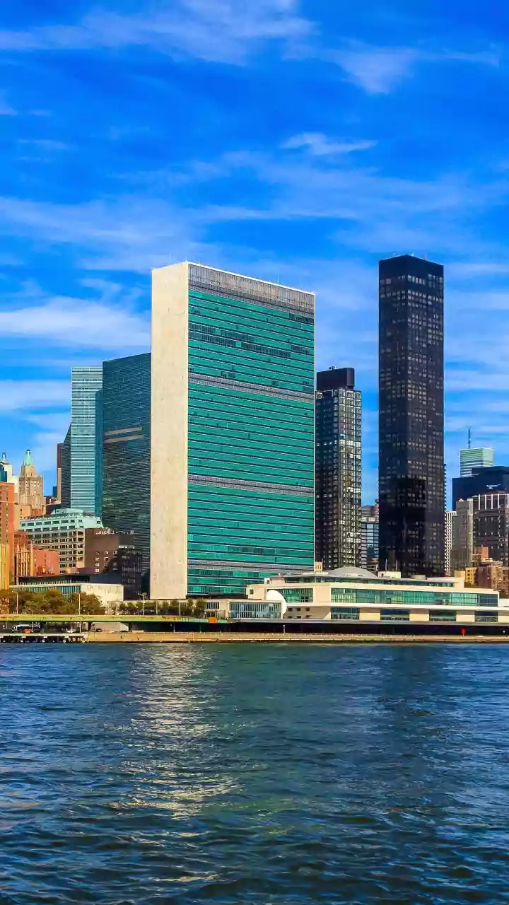
That beautiful, rain-fed scenery is directly connected to the red “DELAYED” text flashing on the departure board. The problem isn’t gentle showers; it’s the nature of the precipitation. The dominant weather pattern has been one of intense, localized, and often severe thunderstorms. For air travel, this is kryptonite. Thunderstorms, especially around the hyper-congested New York City-area airports (LaGuardia, JFK, and Newark) which handle a massive percentage of the nation’s air traffic, force immediate and cascading chaos. Planes can’t take off or land. Air traffic control must reroute flights through ever-shrinking corridors of safe airspace. This creates a ripple effect that grounds flights in Chicago, Dallas, and Los Angeles that were headed east. One afternoon thunderstorm over New Jersey can disrupt travel across the entire country for the rest of the day. A Federal Aviation Administration analysis has pointed to weather as the primary driver for the spike in cancellations and delays, far outpacing other factors.
It's Not Just the Skies
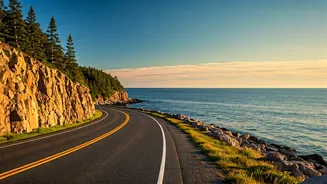
The disruptions aren’t confined to 30,000 feet. The same downpours are wreaking havoc on the ground. Amtrak, the lifeblood of the Northeast Corridor, has faced its own set of weather-related challenges. Flash flooding can cover tracks and damage signal systems, leading to service suspensions. In July, a freight train derailment in Pennsylvania, attributed to track washout from heavy rains, created significant disruptions for Amtrak’s east-west routes. The saturated ground also increases the risk of mudslides and downed trees, both of which can halt rail traffic for hours. Even road travel isn’t immune, with flash flood warnings becoming a near-daily occurrence in many areas, turning underpasses into lakes and closing major arteries. The very water making the landscape beautiful is simultaneously undermining the infrastructure built upon it.
A Wetter, Wilder Normal
While it’s tempting to write this off as one bad summer, the pattern aligns with what climate scientists have been forecasting for the Northeast for years. Climate change isn’t just about making the region hotter; it’s about making its weather more volatile. The atmosphere, now warmer, can hold more moisture, leading not necessarily to more rainy days, but to more extreme rainfall events. Instead of a week of steady drizzle, we get a month’s worth of rain in a single afternoon. This is the new reality that infrastructure, designed for the climate of the 20th century, is struggling to handle. The airports, rail lines, and highways of the Northeast were not built for this intensity or frequency of weather events. The result is a system under constant stress, where the margin for error is zero and delays are becoming the rule, not the exception.