


Reading Nature's Signs
Before GPS and digital charts, intrepid sailors navigated by a profound understanding of the natural world. Their voyages were a testament to keen observation,
intuition, and a deep-seated knowledge of environmental cues. They didn't rely on a single indicator but meticulously cross-referenced a symphony of natural signs. This ancient form of navigation was as much an artistic pursuit as it was a scientific endeavor, driven by the courage to explore the uncharted territories of the globe.
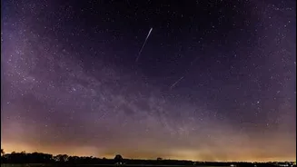
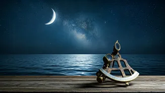
Celestial Guides and Tools
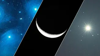
The stars were paramount for ancient mariners, offering a constant and reliable guide across the night sky. Tools like the astrolabe, though perhaps more widely recognized for its astronomical and astrological uses, also played a crucial role in locating celestial bodies. These instruments aided in determining latitude and position, enabling sailors to maintain a consistent course even in the vast expanse of the open sea. This sophisticated use of the heavens underscores the advanced understanding of astronomy possessed by these early explorers.
Early Compass Innovations
The concept of the magnetic compass, so fundamental to modern navigation, had humble beginnings. In ancient China, the earliest iterations of this device involved a magnetized needle delicately floating on water. This ingenious method allowed the needle to align itself with the Earth's magnetic field, indicating direction. Unlike the fixed compasses prevalent today, these early versions required a specific environment and understanding to function, showcasing a unique approach to directional finding.
Mapping Ocean Currents
Some of the most fascinating navigational aids were the "stick charts" developed by Micronesian sailors. These weren't maps in the conventional sense, but rather intricate arrangements of palm strips and shells meticulously designed to represent ocean currents and wave patterns. Navigators had to internalize these charts through memory, understanding the complex interplay of water movements. These charts were a testament to their intimate knowledge of the sea's dynamic behavior and their ability to translate it into a navigable system.
Polynesian Oceanic Mastery
Polynesian navigators stand out for their extraordinary ability to traverse thousands of miles across the open ocean with virtually no instruments. Their expertise lay in their profound connection to the environment. They expertly read the subtle language of the stars, the rhythmic patterns of waves, and even the flight paths of birds to guide their voyages. This deep-seated, almost intuitive understanding of the interconnectedness of natural phenomena allowed them to undertake epic journeys, colonizing vast archipelagos.
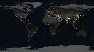
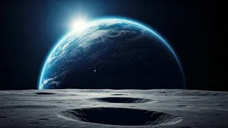
Recognizing Earth's Curve
Long before the voyages of Columbus, ancient navigators possessed a sophisticated understanding that the Earth was indeed round. This knowledge wasn't derived from abstract theories but from direct observation. They noticed how ships would disappear hull-first over the horizon, a phenomenon only explicable on a curved surface. Furthermore, they observed changes in the constellations visible as they traveled north or south, further confirming their comprehension of our planet's spherical shape.
Viking Sunstone Navigation
The Vikings, renowned for their daring explorations across the North Atlantic, may have employed a unique navigational tool known as "sunstones." These crystals were believed to have the property of polarizing sunlight, allowing navigators to locate the sun's position even when it was obscured by fog or cloud cover. This remarkable adaptation would have been invaluable for maintaining course and preventing disorientation during their challenging voyages through often unpredictable northern seas.