


Seeing the Sky
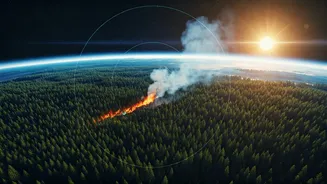
The way we detect and manage wildfires is undergoing a significant transformation, moving beyond simply delivering raw satellite data. Organizations are
now developing sophisticated tools that visualize the precise paths of satellites and their sensor coverage over critical areas. This enhancement is crucial for providing firefighters and researchers with actionable intelligence about when space-based sensors will capture vital information. The nonprofit Earth Fire Alliance, a key funder of the FireSat constellation, has partnered with ExoAnalytic Solutions to create this groundbreaking software. Its primary objective is to equip fire response managers and scientists with a clear understanding of satellite observation timing, thereby influencing operational decisions and resource allocation. The Alliance emphasizes that accessible and user-friendly visualization tools are paramount for ensuring that fire-detection satellite technology benefits organizations of all sizes, regardless of their location or available resources.
Timing is Everything
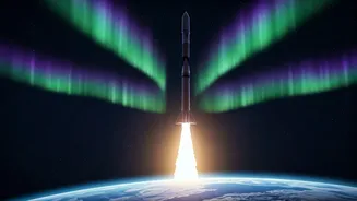
The FireSat constellation is engineered to globally detect, monitor, and characterize wildfires using a network of low-orbit satellites equipped with advanced multispectral infrared sensors. While these sensors are adept at identifying nascent ignitions and tracking fire progression, their ultimate effectiveness is intrinsically linked to accurate timing. Without a clear understanding of when satellites will be positioned to observe a particular area, emergency responders risk making critical misjudgments about the availability of fresh data. This could mean waiting hours for an update when immediate action is needed, or deploying resources based on outdated information. ExoAnalytic, which already operates a substantial network of optical telescopes for tracking satellites and space debris, is applying its expertise in space situational awareness directly to disaster response. The software they are developing will graphically represent the orbits of the FireSat satellites and their expansive sensor swaths, which cover approximately 1,500 kilometers. This will allow users to monitor real-time satellite movements, visualize the areas their sensors will cover, and pinpoint areas of particular interest or concern.
Actionable Intelligence
This sophisticated visualization software is being developed as a suite of containerized web applications, ensuring that it can be readily deployed across diverse technological environments and accessed by various user groups. ExoAnalytic is creating two distinct versions of the user interface to cater to different needs. A public-facing tool will be available to the broader wildfire community, including policymakers and advocacy groups, providing general insights. Simultaneously, a more secure and detailed interface will be provided for operational users, such as first responders and emergency managers, who require immediate and granular information. The data generated by FireSat is intended to serve multiple stakeholders. First responders and fire managers will benefit from earlier and more precise detection of ignitions and a better understanding of fire behavior. Meanwhile, researchers will be able to compile more comprehensive historical datasets, which will be instrumental in refining models for fire spread prediction and understanding its interactions with climate patterns. Sean Triplett, director of data integration and operations at the Earth Fire Alliance, highlighted that the absence of a unified, accessible interface remains a significant challenge in leveraging satellite technology for global wildfire monitoring.
Bridging the Gap
Triplett further elaborated on the current landscape, noting that while numerous satellites exist that can detect, track, and characterize fires worldwide, there is a distinct lack of a collective interface that enables firefighters, fire managers, and scientists to easily ascertain when these satellites will pass over their areas of operation or monitoring. He stressed that the forthcoming visualization tool will directly address this gap by clearly indicating satellite data collection times for specific regions, thereby significantly aiding operational planning and wildfire response management. The public interface will display the orbital paths of the FireSat constellation and other Earth observation satellites. In contrast, the secure version will initially be accessible only to early adopters within the Earth Fire Alliance. This advanced version will offer users the capability to upload crucial data, such as the perimeters of active fires, and subsequently receive both predicted upcoming and historical satellite pass data relevant to those specific areas. This feature holds the potential to profoundly influence how fires are managed, as illustrated by Triplett's example of a wildfire in Kobuk Valley National Park. In scenarios where a fire does not pose an immediate threat to communities or critical infrastructure, managers might opt to allow natural fire processes to continue, conserving resources. Utilizing the secure interface, planners could ascertain the availability of satellite coverage and make informed decisions about whether aerial monitoring is necessary or if satellite data alone is sufficient for ongoing oversight.
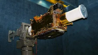
Future Constellation Plans
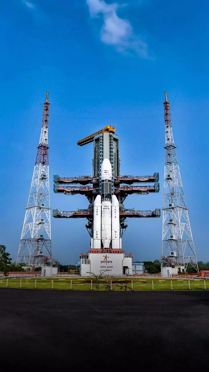
The FireSat constellation is still in its developmental stages, with significant progress anticipated in the coming years. A prototype satellite, developed by Muon Space, was launched in March 2025, and the company subsequently released the initial thermal infrared images captured by this spacecraft in June of the same year. The next phase involves the deployment of three FireSat satellites, scheduled for 2026. According to Muon Space, this initial deployment will provide a substantial increase in coverage, offering twice-daily global observation capabilities. Looking further ahead, the long-term vision for the FireSat project is to deploy a constellation of 50 or more satellites by approximately 2030. This ambitious expansion aims to dramatically reduce revisit times over many fire-prone regions, achieving coverage intervals of roughly 20 minutes or less. This level of frequent observation will provide unprecedented real-time monitoring and rapid response capabilities for wildfires across the globe.