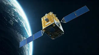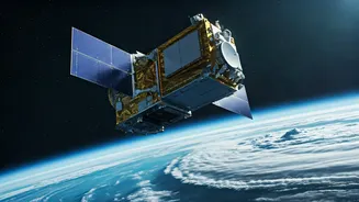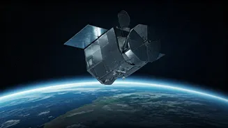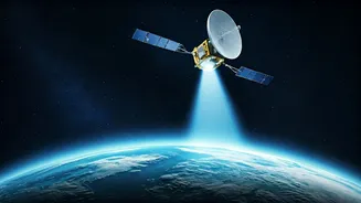


Radar Sees All
A pioneering new service is emerging that harnesses the power of radar imaging satellites to meticulously track even the slightest alterations in the Earth's
surface. This innovative offering leverages a sophisticated technique known as Interferometric Synthetic Aperture Radar (InSAR). At its core, InSAR involves comparing radar data captured from the same geographical area at different points in time. By analyzing the minute differences in how radar signals bounce back, scientists can detect ground displacement with remarkable accuracy, down to the millimeter. This capability goes far beyond what conventional visual imagery can reveal, opening up new avenues for understanding geological and structural stability.
Precision Through Comparison
The magic of InSAR lies in its ability to compare the phase of radar signals collected during multiple passes of a satellite over a specific location. Even the smallest discrepancies in the signal's return trip can be precisely measured. This allows for the detection of ground movements that are completely imperceptible to the human eye or standard photographic methods. The technology effectively creates a highly detailed map of surface deformation, providing valuable information that can be crucial for a wide range of applications. This advanced comparison method is what enables the unprecedented level of precision in detecting subtle environmental changes.
Diverse Industry Applications
The applications for this ground-monitoring technology are vast and span numerous critical sectors. For instance, in the energy and mining industries, the data is invaluable for scrutinizing oil fields, pipelines, and excavation sites. It helps identify subsidence—a slow sinking of the ground—which can be an early warning sign of potential infrastructure damage or underlying geological shifts. Civil engineers are employing this same technology to rigorously assess the long-term stability of vital structures like bridges, extensive rail networks, and substantial buildings. By continuously monitoring for subtle movements, they can proactively address potential issues before they become critical failures, ensuring public safety and maintaining essential services.
Disaster Insight & Risk
Beyond infrastructure monitoring, this radar technology plays a crucial role in disaster management and risk assessment. In the face of natural calamities, InSAR is instrumental in mapping the extent of ground deformation caused by earthquakes, providing immediate insights into the scale of damage. It also aids in monitoring volcanic activity, offering early warnings of potential eruptions by detecting subtle ground swelling or shifts. Furthermore, governmental bodies and insurance providers are utilizing this data to meticulously assess flood risks and monitor coastal erosion. This is particularly important for low-lying urban areas where gradual land subsidence can exacerbate the impact of storm surges and rising sea levels, highlighting the technology's role in climate change adaptation strategies.
On-Demand Service
This new offering is not dependent on deploying additional satellites. Instead, it relies on significant advancements in software and data processing techniques. These improvements allow customers to easily task existing radar imaging spacecraft to capture the specific repeat-pass data needed for interferometric analysis. The company emphasizes that customers can access this InSAR-ready data immediately through their user-friendly tasking console or an API. This streamlined approach automates a process that was historically more complex and time-consuming, enabling users to schedule data collections and receive processed results efficiently without the need for intricate coordination of individual satellite passes.
Swift Data Assembly
To demonstrate the capability of this new service, a recent study was conducted over Mexico City. In this experiment, the system successfully measured ground deformation rates exceeding an impressive 70 centimeters per year. This was achieved using just 18 radar acquisitions collected over a period of seven weeks. The company highlights that assembling similarly comprehensive datasets using traditional methods would typically require several months. This significant reduction in data acquisition and processing time showcases the efficiency and power of the new, software-driven approach to InSAR data analysis, making vital Earth observation information more accessible than ever before.