




A New Era of Observation
The landscape of warfare has been dramatically altered by the widespread availability of commercial satellite imagery. Companies like Planet Labs, operating
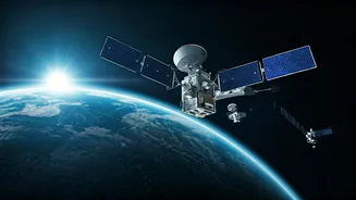
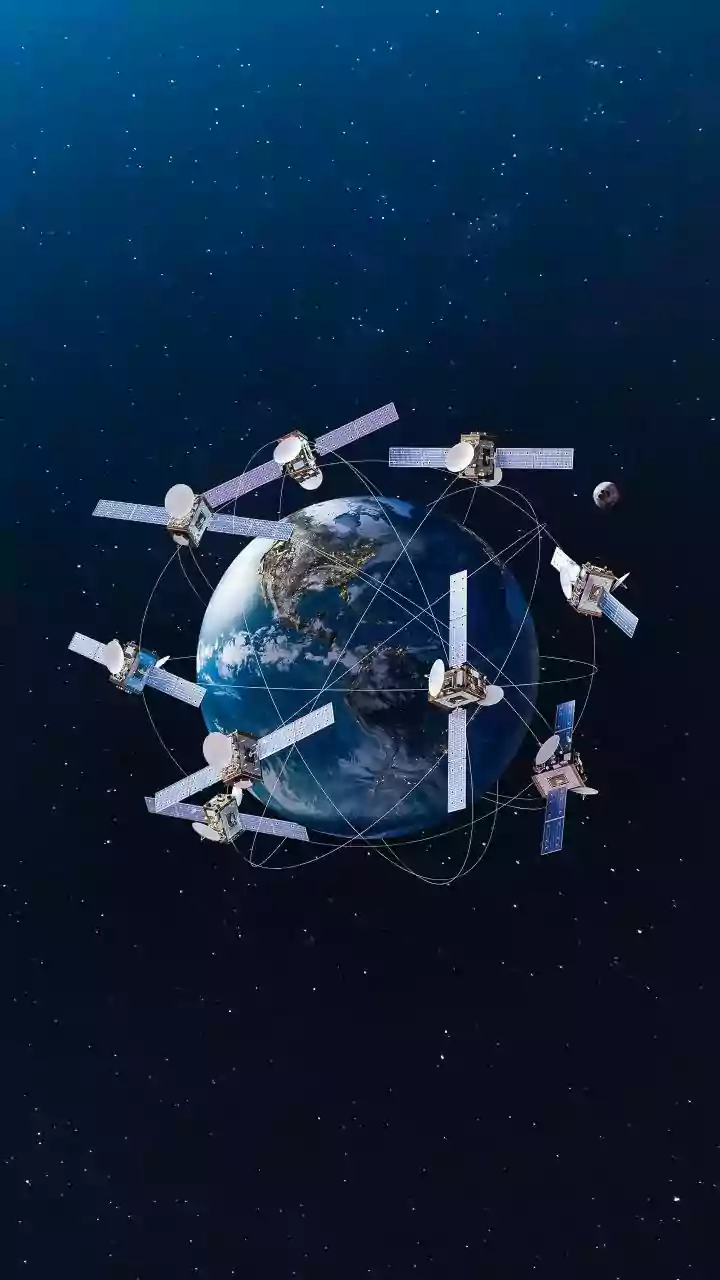
vast constellations of approximately 200 satellites, provide near-daily views of global events, including conflict zones. Their ability to capture and disseminate images of critical incidents, such as airstrikes and damage to military infrastructure, offers an unprecedented level of real-time situational awareness. This technological leap, driven by the proliferation of remote-sensing satellites that constantly monitor Earth, is pushing society towards what's termed the GEOINT singularity – a future where geospatial intelligence is accessible to the average person almost instantly, revealing not just the static appearance of the world but its dynamic changes. This impending reality has already fundamentally reshaped the dynamics of modern military operations and intelligence gathering.
Ubiquitous Eyes in Orbit
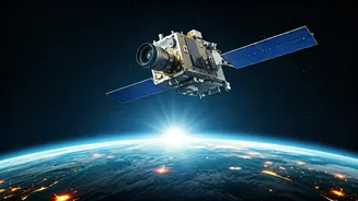
While governments have utilized spy satellites since the mid-20th century, the year 1992 marked a turning point with the authorization for private companies to operate their own. Today, commercial remote-sensing satellites are everywhere. Experts estimate that the combined capabilities of these 'superconstellations' can image virtually any point on Earth every few hours. Companies like Vantor boast satellites with exceptional resolution, capable of discerning objects as small as a cutting board from orbit. Although Vantor's 10 satellites may not offer the same broad coverage as Planet's extensive network, they excel at revisiting high-priority locations up to 15 times daily, delivering imagery in as little as 15 minutes. Furthermore, Vantor leverages its data to generate updated 2D and 3D maps of most of the globe, ensuring that intelligence remains current even as new information emerges. This constant stream of updated visual data provides governments with their desired 'living globe,' offering real-time insights into a constantly changing world.
Beyond Visual Spectrum
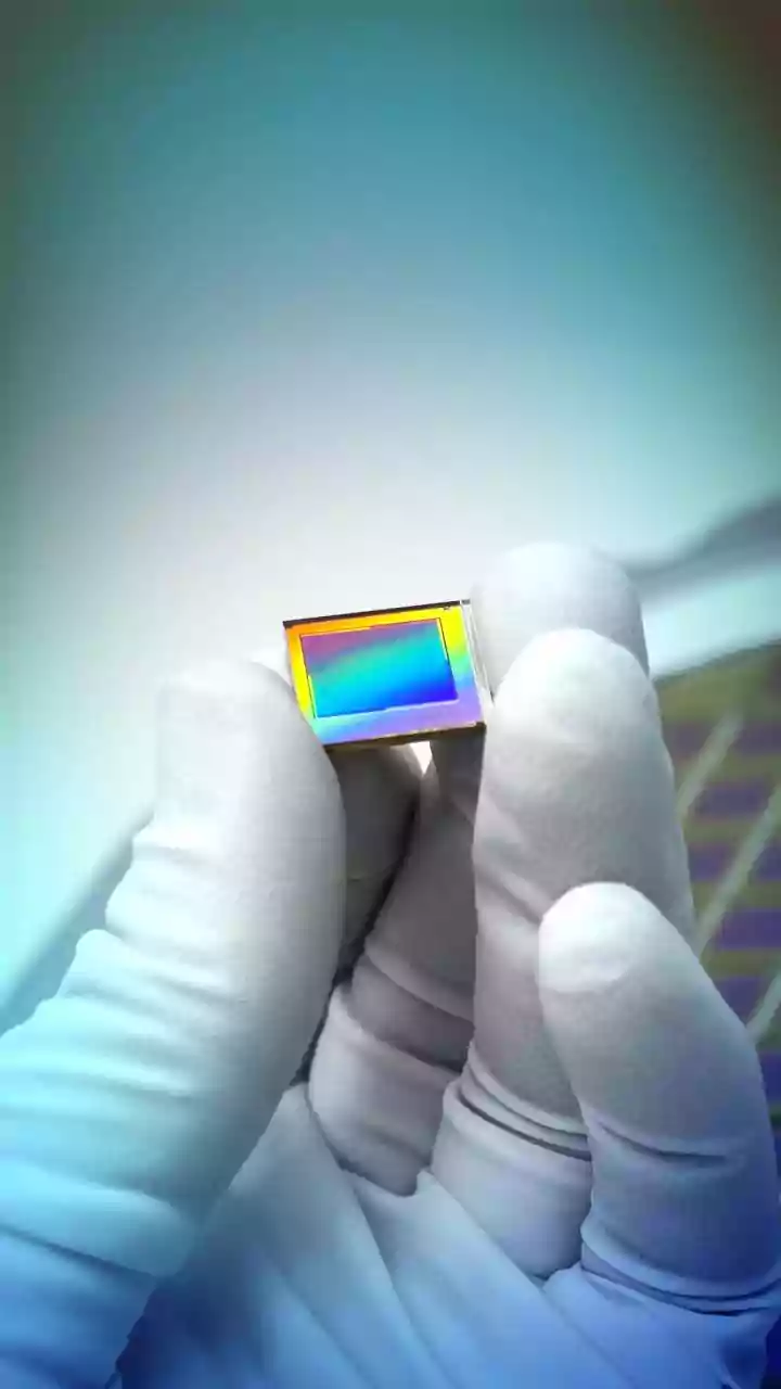
Commercial satellites are no longer confined to capturing visible light imagery; they are increasingly equipped with advanced instruments that detect a wide array of electromagnetic wavelengths. These capabilities include radar systems and devices capable of intercepting radio transmissions, thereby offering a comprehensive view of the planet that extends far beyond human perception. HawkEye 360 exemplifies this evolution with its constellation of 30 satellites designed to detect and pinpoint radio transmissions, capable of revisiting most locations hourly. This non-visual sensing is invaluable for tracking entities that attempt to operate covertly. For instance, ships aiming to evade detection might disable their automatic identification systems or falsify their GPS locations. However, they cannot entirely conceal all radio emissions, such as those generated by radar. HawkEye's satellites can detect these signals, triangulate their source, and potentially confirm the identity of vessels with the assistance of optical satellites. Moreover, these spacecraft can identify GPS signal disruptions, alerting military officials to instances of jamming or spoofing that could compromise traditional navigation and geolocation.
Transparency's Double Edge
The pervasive presence of diverse satellite types makes concealing above-ground military activities exceedingly difficult, pushing operations underground. However, sustaining an entire war effort from bunkers is impractical. As demonstrated by Planet's press releases, near-real-time satellite data enables governments to publicize their successes, while simultaneously making denials of wrongdoing more challenging. During periods of heightened tension short of open conflict, satellites can mitigate escalation by dispelling fears of imminent attacks. Proponents suggest using satellite imagery to verify arms control treaties, such as by counting missile silos. Nevertheless, an excess of transparency can paradoxically pose risks. Nuclear deterrence, for example, relies on a mutual understanding of the potential for catastrophic retaliation. If one nation possesses up-to-the-minute intelligence on another's mobile missile launcher locations, it could erode the adversary's retaliatory capability, undermining the logic of mutually assured destruction and potentially increasing the likelihood of nuclear weapon use.
The Art of Deception
Satellites also facilitate subtle forms of communication between nations. A notable instance involved Russia displaying a new bomber aircraft by leaving it exposed to be observed by U.S. satellites, as noted by experts. However, the enduring military imperative to deceive adversaries remains a constant. Even as the world approaches the GEOINT singularity, the battle for truth and transparency is far from over. Digital images can be manipulated using artificial intelligence, or entirely fabricated. Deception also persists in analog forms; both Russia and Ukraine have employed decoy military assets, such as inflatable tanks and wooden replicas, to mislead enemy sensors. Russia has even painted realistic silhouettes of its bombers onto runways. The reality of information gleaned from space is thus complex, and access to it is equally nuanced. Private satellite companies are not legally bound to provide their data promptly, and their decisions regarding timing, distribution, and recipients position them as significant geopolitical actors. For example, a company like Planet might delay the release of imagery from specific Middle Eastern regions for 14 days. While this delay doesn't preclude other entities from observing events, the selective restriction of access to verifiable ground truth can have substantial consequences, as seen when a major newspaper confirmed an errant U.S. strike using satellite imagery, preventing the world from being left with doubt or conflicting official accounts.