



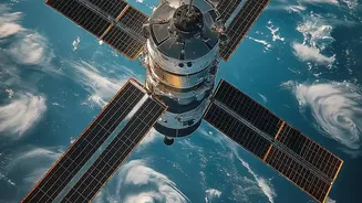

An Eye in the Sky Called FireSat
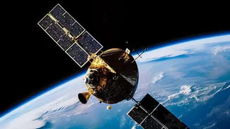
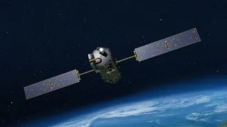
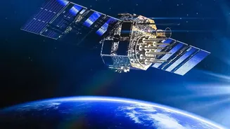
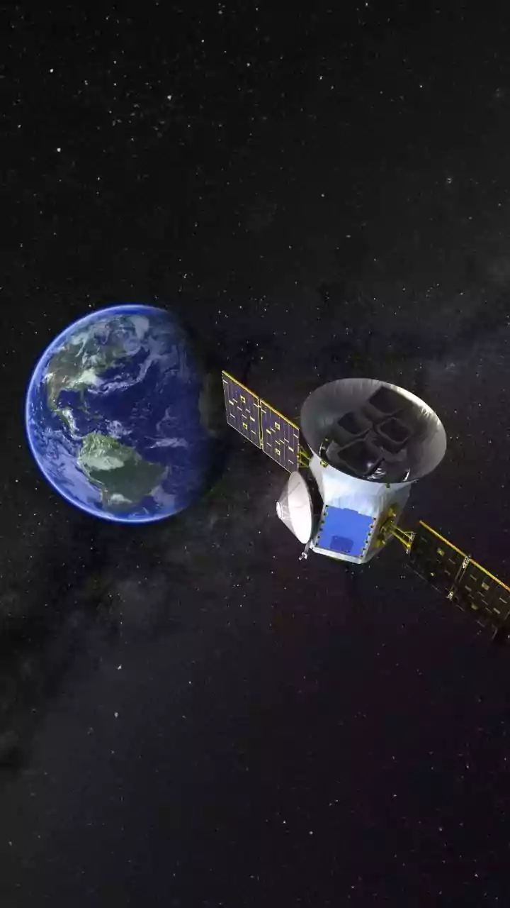
A new global initiative called FireSat is deploying a purpose-built constellation of satellites designed with one mission: to find wildfires faster than ever before. Led by the nonprofit Earth Fire Alliance in partnership with satellite manufacturer Muon
Space and tech giant Google, the project represents a major shift in disaster response technology. Unlike existing weather or Earth-observation satellites that might spot a fire by chance, FireSat’s network is being created specifically for this task. The first three operational satellites in a planned constellation of over 50 were successfully launched in July 2026, marking the beginning of a new era in fire surveillance.
How It Spots the Spark
The technological leap lies in what these satellites can see. Equipped with advanced thermal infrared sensors, they don’t look for smoke, which can be obscured by clouds or geography; they look for heat. This allows them to detect fires day or night. The system is sensitive enough to spot a thermal anomaly as small as 5-by-5 metres—roughly the size of a large picnic blanket or a small car. Onboard artificial intelligence then analyses the heat signature, comparing it with historical data and weather conditions to distinguish a nascent wildfire from other heat sources, like a factory, significantly reducing false alarms before sending an alert.
The 20-Minute Advantage
For firefighters, the most critical factor in stopping a blaze is time. Current satellite systems can take hours, or even a full day, to pass over the same spot, by which time a small fire can become an uncontrollable catastrophe. The FireSat network is designed to slash that delay dramatically. Once the full constellation is operational, it will be able to scan every point on the planet approximately every 20 minutes. This near-constant monitoring means that an alert can be sent to emergency responders within minutes of ignition. According to fire officials, this speed is a game-changer, enabling them to dispatch resources when a fire is still small and manageable.
From Detection to Action
Spotting a fire is only the first step. The FireSat system is designed to integrate directly into the workflows of emergency services. When a credible threat is identified, an automated alert containing the fire's precise geographic coordinates is sent to the relevant fire agencies on the ground. This system doesn't operate in isolation; it complements a growing network of ground-based cameras that also use AI to scan for smoke and heat. For vast, remote areas with no cameras or population to call 911, these satellites provide a crucial first line of defense. Fire officials in California have noted that such technology helps them achieve their goal of containing 95% of fires at 10 acres or less.
A New Era in Fire Management
The ambition behind FireSat and similar systems from companies like Germany's OroraTech is to transform firefighting from a reactive battle into a proactive strategy. By catching fires at their earliest stage, the goal is to extinguish them before they ever make headlines. The economic and social benefits are enormous, with projections suggesting billions saved in damages and thousands of homes protected annually. While satellites can't see through extremely dense cloud cover and are not a cure-all for the complex problem of wildfires, they represent a powerful new tool. This technology provides the data-driven intelligence needed to manage a growing threat in a world facing a changing climate.