






An Eye in the Sky
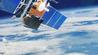
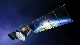
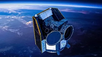
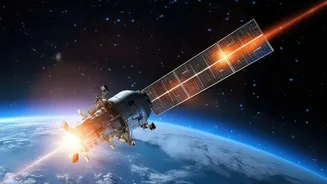
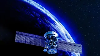
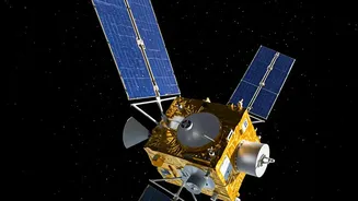
FireSat is a planned constellation of over 50 satellites designed for one specific purpose: to detect and monitor wildfires around the globe. This initiative is led by the nonprofit Earth Fire Alliance, with significant technical contributions from Google
Research and spacecraft manufacturer Muon Space. Unlike existing weather or observation satellites that might spot large fires incidentally, FireSat's fleet is purpose-built for this task. The project has drawn substantial funding from major philanthropic bodies, including Google.org, the Bezos Earth Fund, and the Gordon and Betty Moore Foundation. A prototype satellite launched in March 2025 successfully tested the system, and the first three operational satellites were sent into orbit in the summer of 2026, marking a major step toward making the system a reality.
How the Technology Works
The core of the FireSat system lies in its advanced sensors and artificial intelligence. Each satellite is equipped with a sophisticated radiometer that can detect thermal energy across multiple infrared and visible light spectrums. This allows the system to see the heat from a fire, day or night, and even peer through smoke. The sensors are incredibly sensitive, designed to detect fires as small as 5x5 meters—roughly the size of a large bonfire. This is a significant improvement over many current satellite systems, which can struggle to identify fires smaller than a soccer field. Once an image is captured, AI algorithms get to work. The system compares the new image to thousands of previous images of the same location, considering factors like weather and known heat sources to distinguish a genuine wildfire from a false alarm like a factory smokestack.
The Speed Advantage
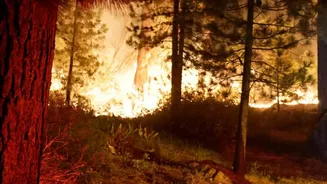
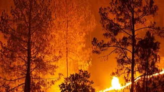
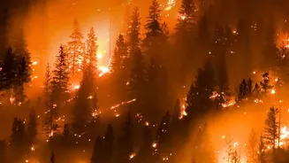
The key promise of FireSat is not just seeing smaller fires, but seeing them faster. Many current satellite systems revisit the same spot on Earth only a few times a day. This leaves a large window for a small ignition to grow into an uncontrollable blaze before it's ever spotted from space. The FireSat constellation is designed to solve this problem. Once fully operational in the early 2030s, the network of over 50 satellites will be able to scan nearly every point on the planet every 20 minutes. This rapid revisit rate drastically shortens the detection timeline. For firefighters, getting an alert within minutes of ignition, rather than hours, can be the difference between containing a small fire and battling a multi-day disaster that threatens lives and homes. A prototype has already proven its potential by detecting a small fire in Oregon that other satellite systems missed.
Challenges and the Road Ahead
While the technology is promising, FireSat is not a silver bullet. The launch in the summer of 2026 included the first three operational satellites, a far cry from the full constellation of more than 50 needed to achieve the 20-minute global scan. Building out the complete network will take years and continued investment. Furthermore, the system's success depends on trust. FireSat must prove that its AI-driven alerts are reliable, minimizing false positives so that emergency responders can act on the information with confidence. The system is designed to complement, not replace, existing methods like ground-based lookout cameras and emergency calls from the public. It is one part of a growing technological toolkit that includes AI-powered analysis of drone footage and predictive modeling to help manage increasingly complex disasters.